If you require a boundary determination survey in Chester or the surrounding region, get in touch with the Datum Land Surveys team today.
Property boundaries aren’t always as straightforward as they look. An existing fence might have been installed long after the original boundary was established, an older wall could be hidden by vegetation, or the information on a title plan might not provide the precise measurements you need. That’s where a boundary determination survey from Datum Land Surveys can help.
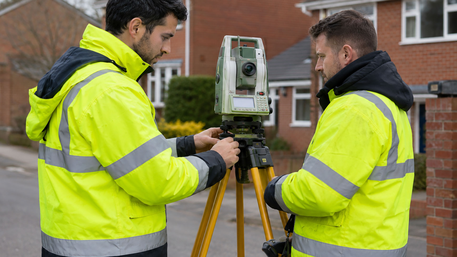
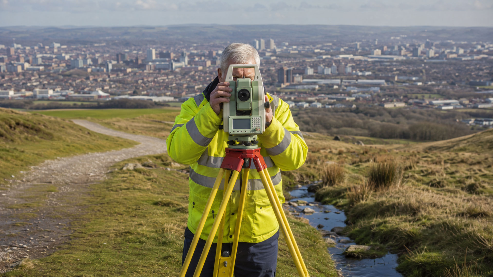
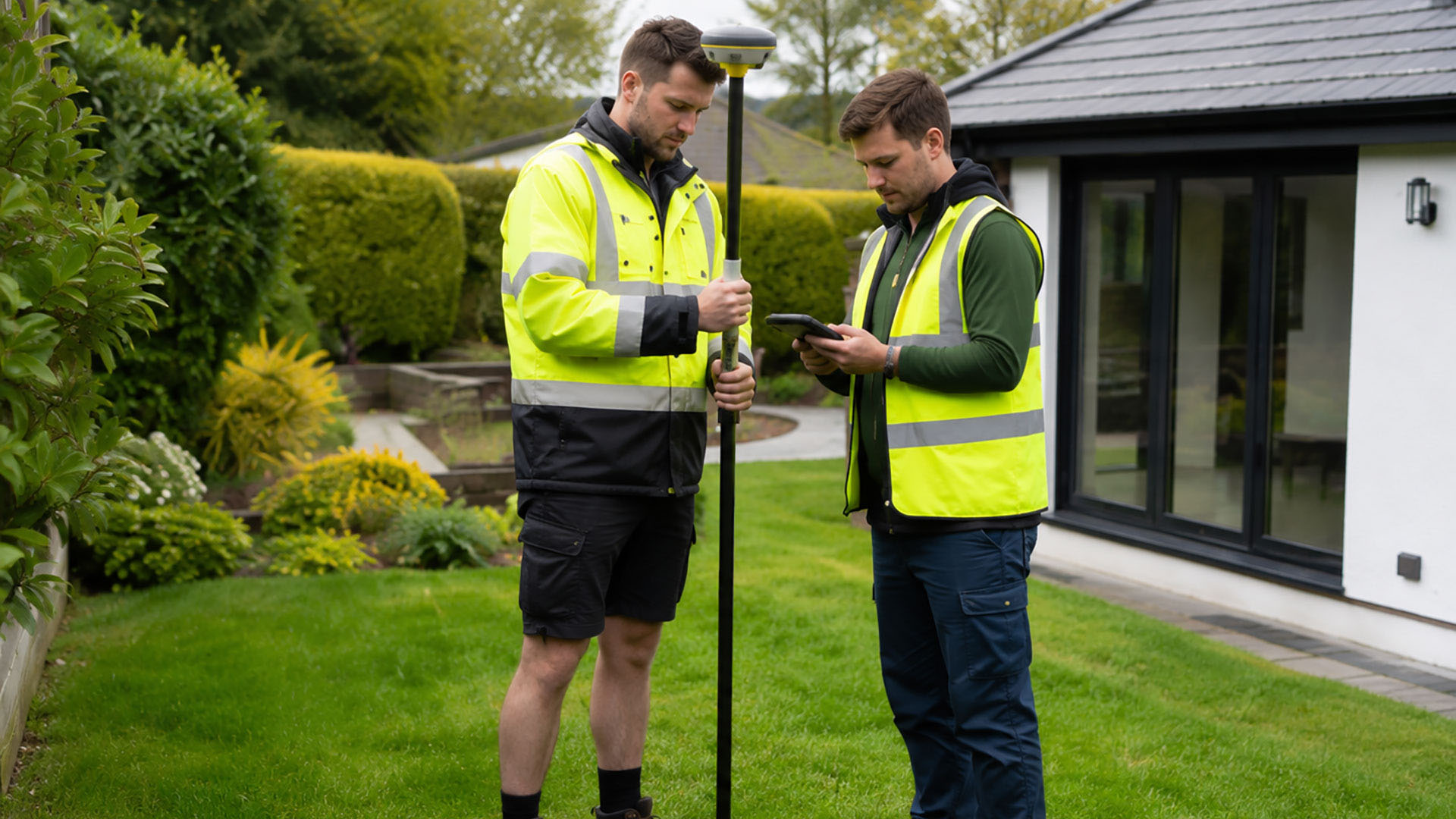
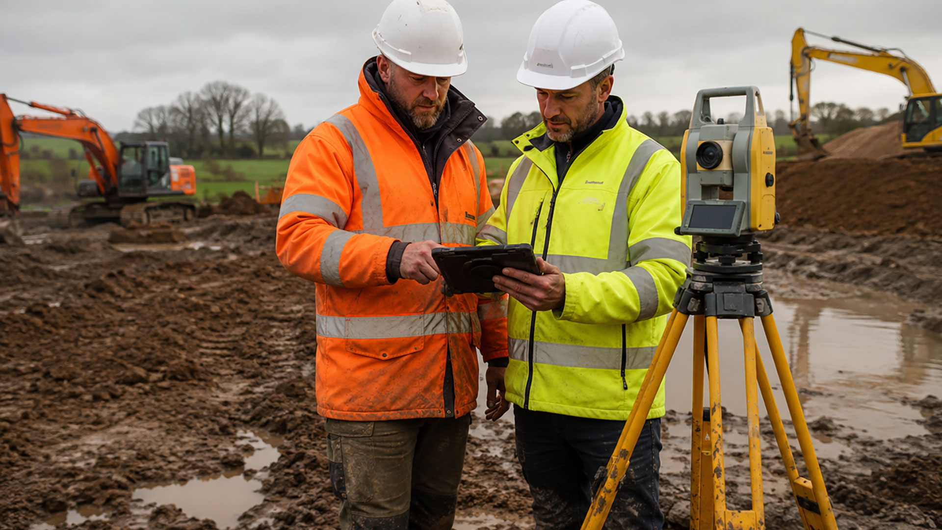
Our surveys provide an accurate measured record of the physical features present at a property. Using professional GPS surveying equipment, we record relevant details such as buildings, roads, walls, fences, hedges and access routes. If there are visible indications of an earlier boundary arrangement, including former fence lines or changes in occupation, these can also be included.
The result is a clear survey drawing that brings the measured features together in one place. The information can then be reviewed alongside digital Ordnance Survey mapping and relevant HM Land Registry documents, helping property owners and their advisers assess the available evidence.
There are plenty of reasons to commission a boundary determination survey in Chester. Perhaps you’re considering replacing a fence, planning an extension, purchasing or selling land, or making changes to an access route. You might simply want a clearer understanding of the boundary before discussing it with a neighbour. Whatever the circumstances, reliable measurements can provide a useful starting point. It’s important to understand the limitations of existing property documentation. Most HM Land Registry title plans indicate general boundaries, rather than defining an exact legal line. The red edging therefore shouldn’t be interpreted as a precise measurement of the boundary on the ground.
Our survey provides technical evidence, not a legal determination of ownership. If the legal position needs to be interpreted, the drawing can be passed to a solicitor or another suitably qualified professional. A formal determined-boundary application through HM Land Registry may require further documents and legal advice.
Datum Land Surveys supplies completed drawings in 2D PDF format, with DWG files available for professional CAD use. We’ll agree the survey’s scope in advance so the final plan reflects the property and your requirements. For professional boundary determination surveys in Chester, get in touch with Datum Land Surveys to discuss your site.
Call us on 0800 7720495 or 07973 683468, or drop us a line at info@datumlandsurveys.uk