Accurate information for land and property projects
Every land or property project begins with an understanding of what is already there. A measured land survey records the dimensions, positions and physical features across a site, creating a dependable base for planning, design and property decisions.
A Reliable Record of the Site
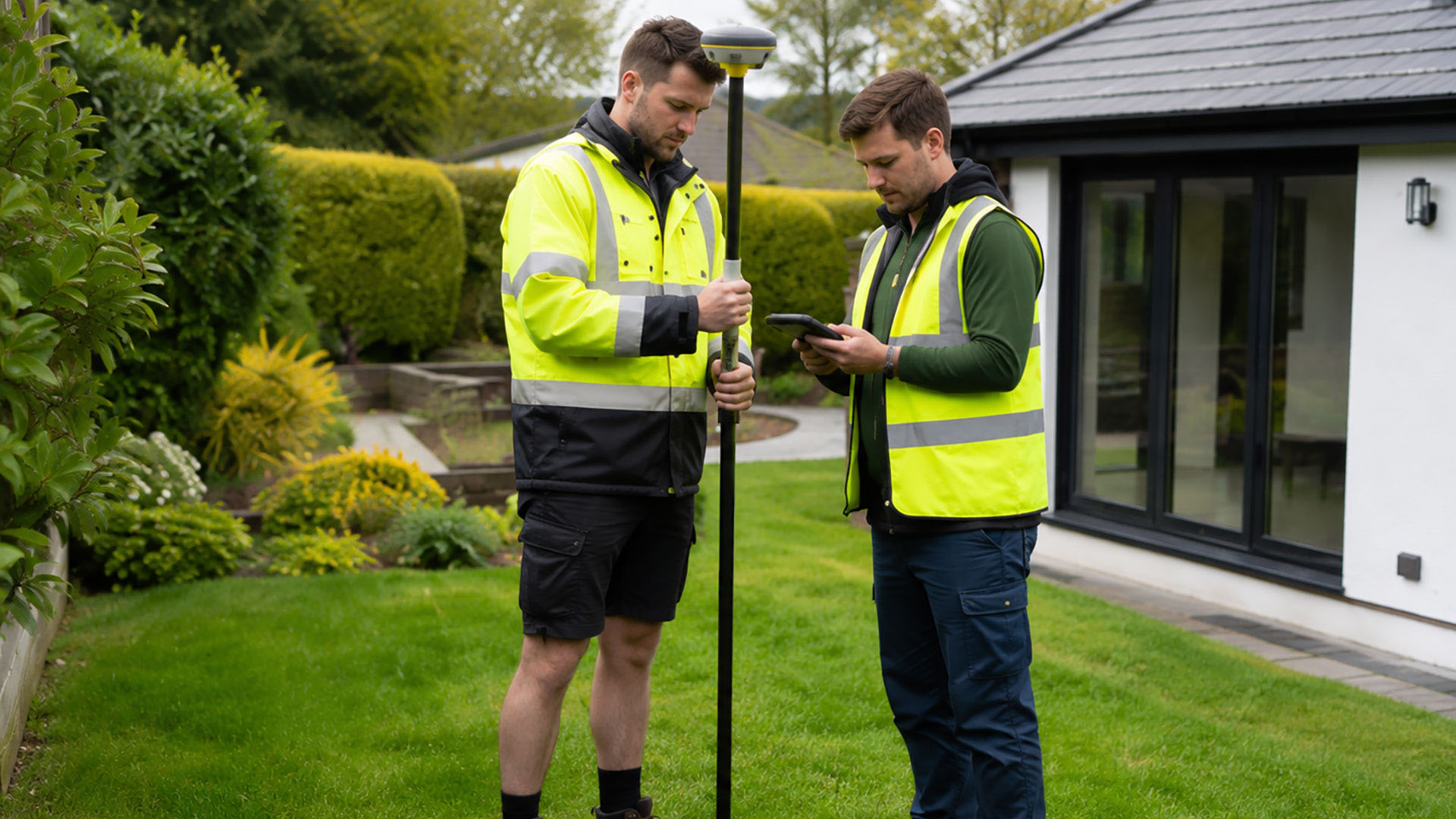
Datum Surveys can measure residential gardens, individual building plots, commercial premises, development land and larger external areas. The drawing can show the site boundaries, buildings, walls, fences, roads, paths, gates, access points and other relevant features that influence the way the land can be used.
The level of detail is shaped around the purpose of the instruction. An architect planning an extension in Greater Manchester may need a focused survey of the house and surrounding garden. A developer assessing land near Warrington or in Lancashire may require a broader record of the site, neighbouring features and access arrangements.
A Better Starting Point
Working from accurate measured information helps reduce uncertainty at the beginning of a project. Designers can position proposed work more confidently, property professionals can understand the relationship between features and owners can make decisions using a plan that reflects the current site rather than an outdated sketch or approximate measurement.
Where levels and contours are required, the instruction may be better suited to a topographical survey. We will discuss the intended use and advise on the most appropriate scope before the site work begins.
Useful Drawings for the Wider Project Team
The completed survey is supplied as a 2D PDF for straightforward viewing and sharing, together with a DWG file for use by architects, designers, engineers and other CAD-based professionals.
Measured land surveys are available across Manchester, Liverpool, St Helens, Warrington, Cheshire, Merseyside, Greater Manchester, Lancashire and the wider North West.