

Ready for the results?
Datum Land Surveys provides accurate boundary, land, building, topographical and drone surveys across Manchester, Liverpool, St Helens, Warrington and the wider North West of England.
Using modern GPS surveying equipment, digital Ordnance Survey mapping and relevant Land Registry documents, we record the important features of each site and translate them into clear, professional drawings supplied in 2D PDF and DWG formats.
Whether you are planning a new development, resolving a boundary dispute, managing a construction project or recording an existing site, our experienced surveyors deliver the accurate information you need to make informed decisions. Every survey is completed with precision, attention to detail and a commitment to providing clear, reliable data you can trust.
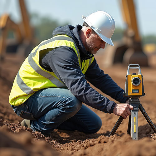
Surveying the North West
From city centres to residential, commercial and development sites across Manchester, Liverpool, Warrington, St Helens, Cheshire and Lancashire, Datum Land Surveys provides accurate measurements and clear information to help clients move forward with confidence.
Every survey is completed with meticulous attention to detail, delivering dependable measurements and reliable data you can trust.
We provide honest advice, transparent reporting and professional surveying services, building lasting relationships through accuracy, reliability and trust.
Using modern surveying equipment and proven techniques, we capture precise site information for every project.
Working closely with homeowners, architects, developers and contractors ensures every survey meets your requirements.
From the initial site visit to the final drawings, we deliver dependable results on time and to the highest standards.
With extensive surveying experience and industry knowledge, we provide clear information that supports confident decision-making.
Surveying with confidence
From boundary and topographical surveys to measured building surveys, Datum Land Surveys delivers accurate information and professional drawings you can rely on.
Accurate boundary and land surveys
Measured building and floor plans
CAD drawings in PDF and DWG formats
Covering the wider North West

Professional Surveying Services
From boundary surveys to drone surveys, Datum Surveys provides accurate, reliable surveying services across Manchester, Liverpool, St Helens, Warrington, St Helens and the wider North West, helping homeowners, architects, developers and businesses make informed decisions.
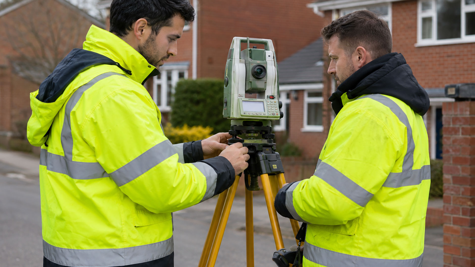
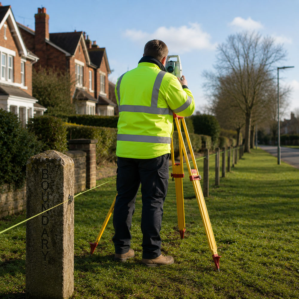
Boundary Surveys
A measured record of fences, walls, buildings, roads and other physical features, helping to create a clearer understanding of an existing property boundary.
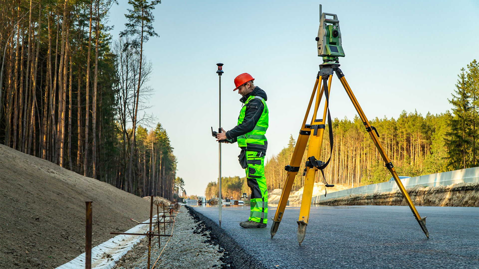
Boundary Determination Surveys
Detailed measured evidence and survey drawings that can support boundary investigations, professional advice and applications relating to a determined boundary.
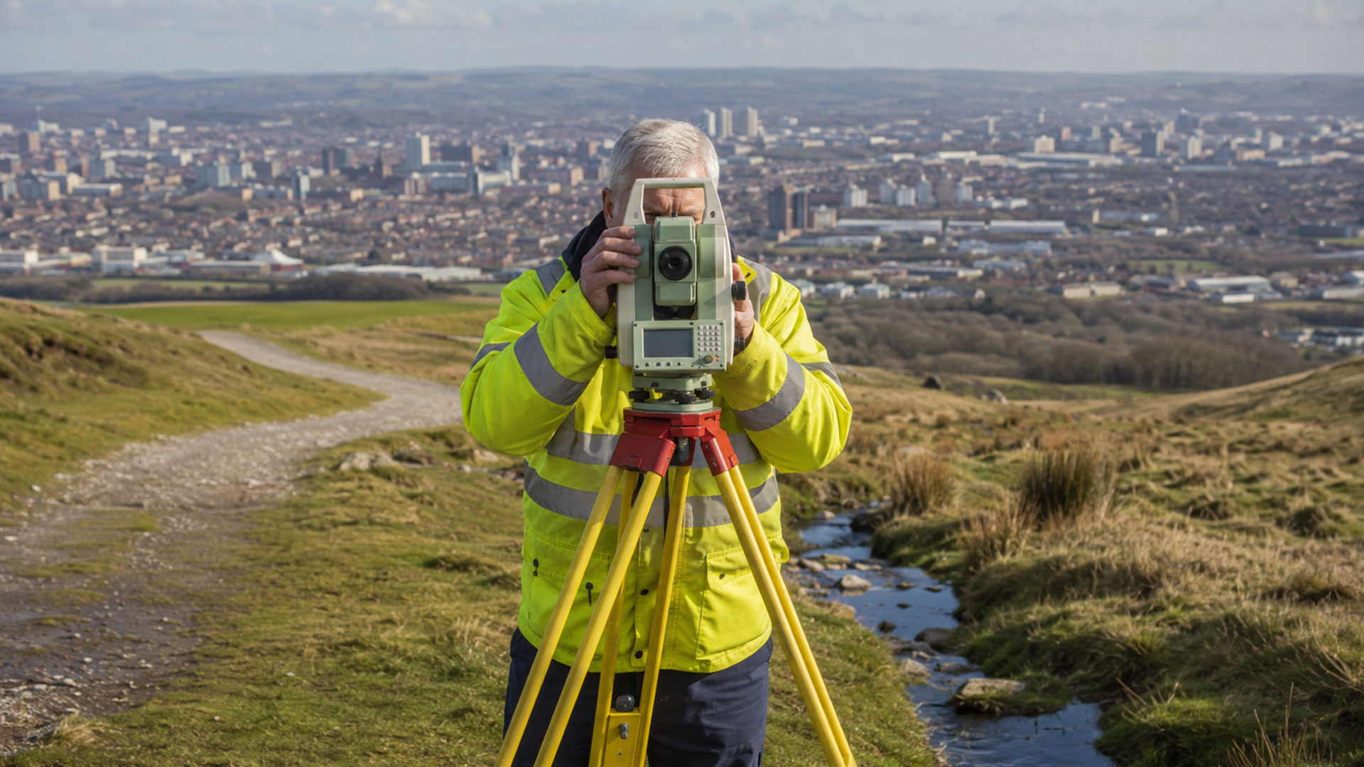
Measured Land Surveys
Accurate plans of land, boundaries, buildings, access points and external features for property, planning and design purposes.
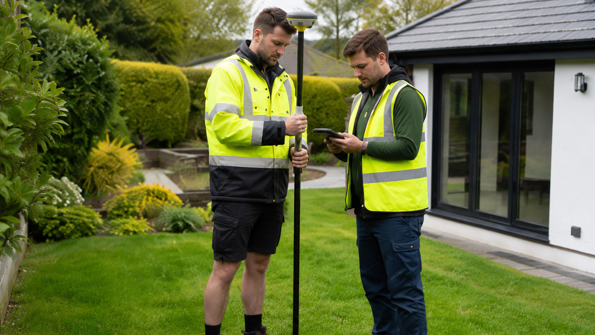
Measured Building Surveys
Accurate plans of land, boundaries, buildings, access points and external features for property, planning and design purposes.
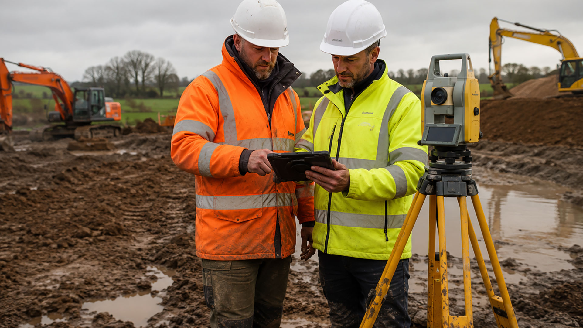
Topographical Surveys
A detailed record of site features, levels and contours to support architects, developers, engineers and planning professionals.

Drone Surveys
Efficient aerial data capture for large, complex and difficult-to-access sites, delivering accurate information quickly across the North West.
FEATURED SERVICE
Resolve boundary uncertainty
Our professional boundary surveys provide the accurate information needed to help identify property boundaries, support planning applications and assist in resolving disputes with confidence.
From residential properties to commercial developments, we provide precise measurements and professional CAD drawings that remove uncertainty and give you the confidence to move your project forward.
Surveying Insights
Stay up to date with the latest surveying news, expert advice and practical guides covering boundary disputes, measured building surveys, topographical surveys and more.
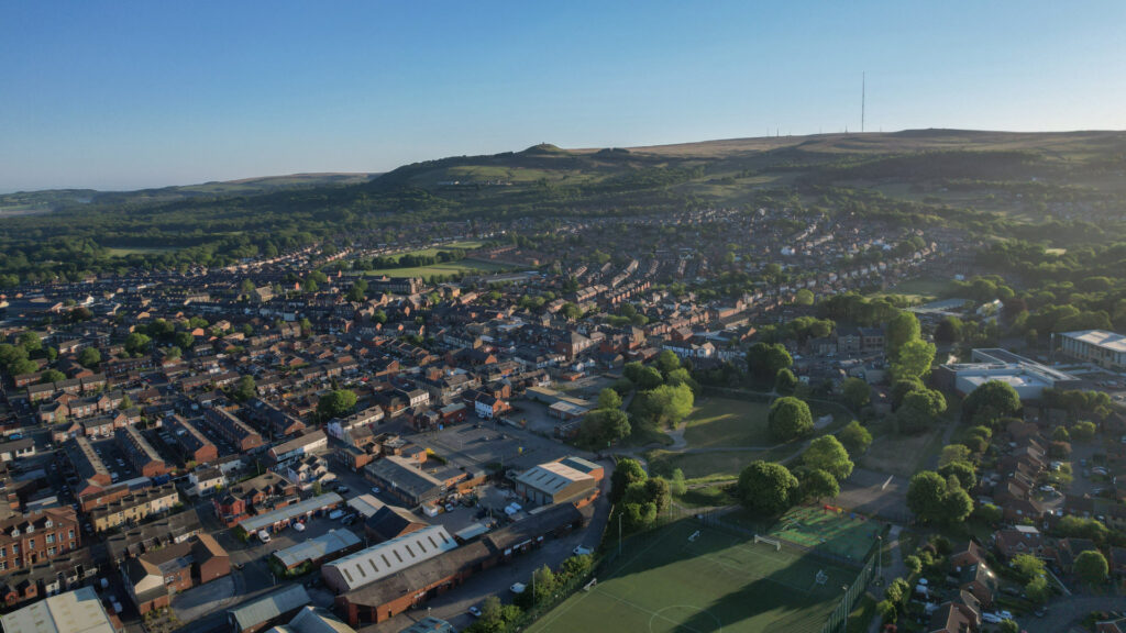
Boundary determination surveys in Bolton: getting a clearer view of your property’s perimeter
For boundary determination surveys Bolton architects, builders and property owners turn to Datum, for accurate results and attentive service. A boundary may appear to be defined by a fence, wall or hedge, but that doesn’t necessarily mean the feature marks the exact legal position of the property line. Fences can be replaced, walls can be …
Boundary determination surveys in Cheshire: building a reliable picture of your land
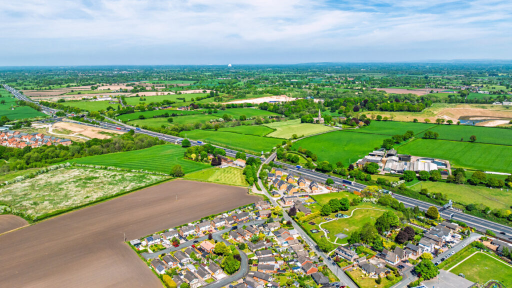
Datum Land Surveys conduct boundary determination surveys in Cheshire. We’re trusted by builders, architects and land owners for our accurate survey data. Understanding the position of a property boundary can be important for all sorts of reasons. You might be considering a new fence, planning an extension, buying or selling land or dealing with a …

Boundary determination surveys in Liverpool: looking beyond the fence line
Offering reliable boundary determination surveys in Liverpool, Datum Land Surveys use the latest in GPS surveying equipment to ensure prompt, accurate results. When a boundary becomes the subject of uncertainty, it’s tempting to rely on the nearest fence, wall or title plan for an answer. However, these features don’t always tell the whole story. A …

Boundary determination surveys in Wirral: accurate information when boundaries are unclear
Are you uncertain about the position of a boundary? Our boundary determination surveys in Wirral help uncover the evidence and create accurate drawings. A property boundary might look obvious, but appearances can sometimes be misleading. A fence may have been installed years after the original boundary was established, an old wall could be hidden beneath …
Boundary determination surveys in North Wales: understanding your property boundaries
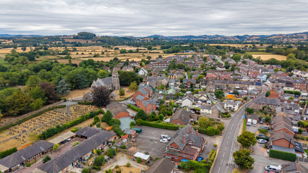
Do you need to determine the true line of your property boundaries? Our trusted boundary determination surveys in North Wales are accurate and reliable. Knowing where your property ends and your neighbour’s begins isn’t always as straightforward as it might seem. Fences may have been replaced, walls altered or older boundary features hidden by vegetation. …
Modern boundary determination surveys for Warrington
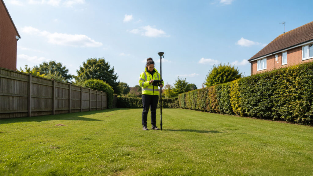
Modern boundary determination surveys in Warrington provide a precise record of what’s on the ground, helping assess the evidence with far greater confidence. When questions arise over the position of a property boundary, accuracy matters. A fence might have been moved, a wall could be altered and landscaping often conceals evidence of an earlier boundary. …
Why Choose Datum Surveys?
At Datum Surveys, we combine experience, precision and modern surveying technology to deliver accurate, reliable results. Whether you're a homeowner, architect, developer or commercial client, we're committed to providing professional surveys you can trust.