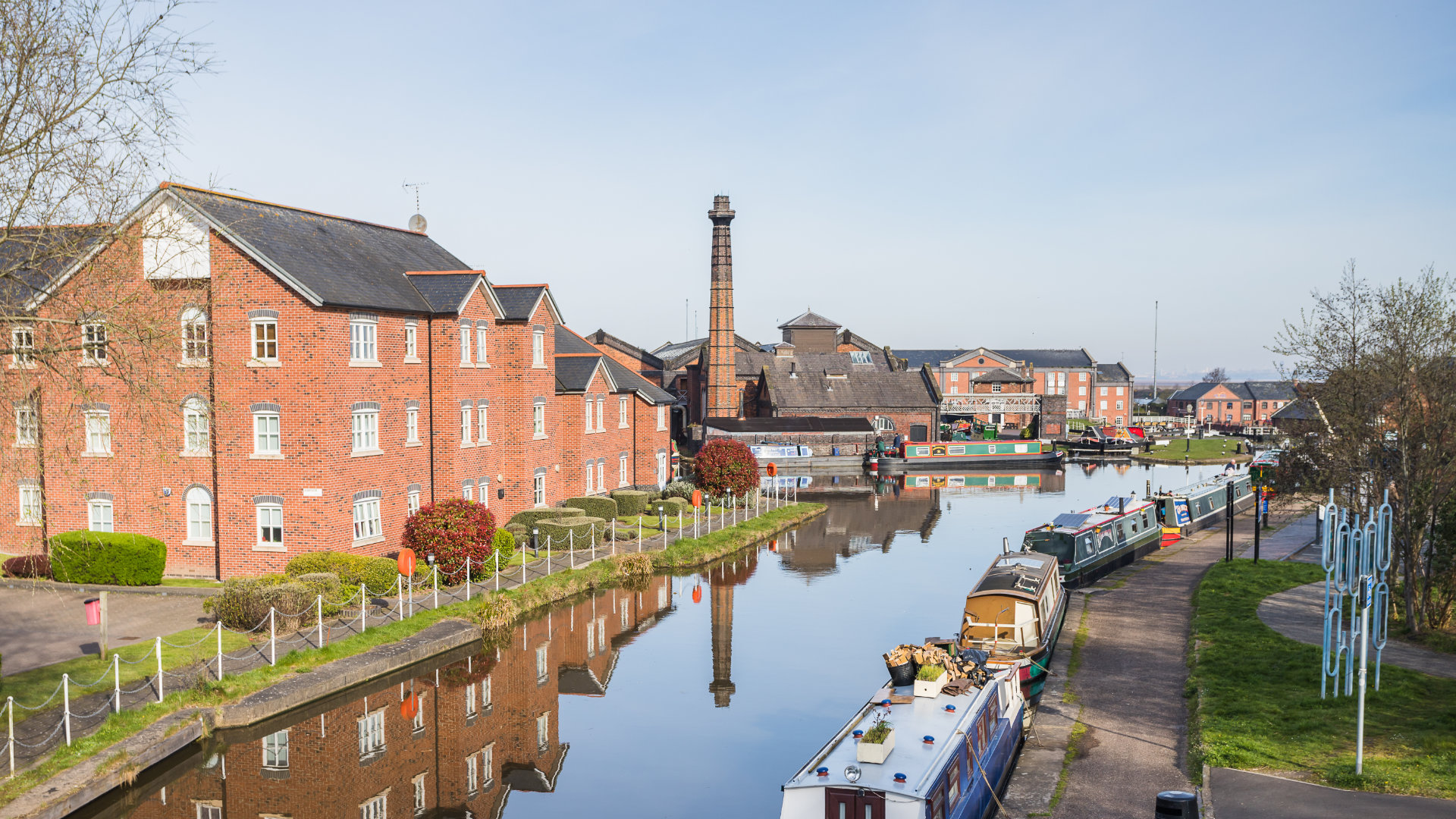
Need a prompt, accurate boundary determination survey in Ellesmere Port? Datum Site Services is your well-established and reliable partner
When you’re dealing with an uncertain property boundary, making assumptions about the position of a fence or wall can lead to further questions. A professional boundary determination survey helps establish an accurate record of the physical evidence, giving you and your advisers better information to consider before deciding what to do next.
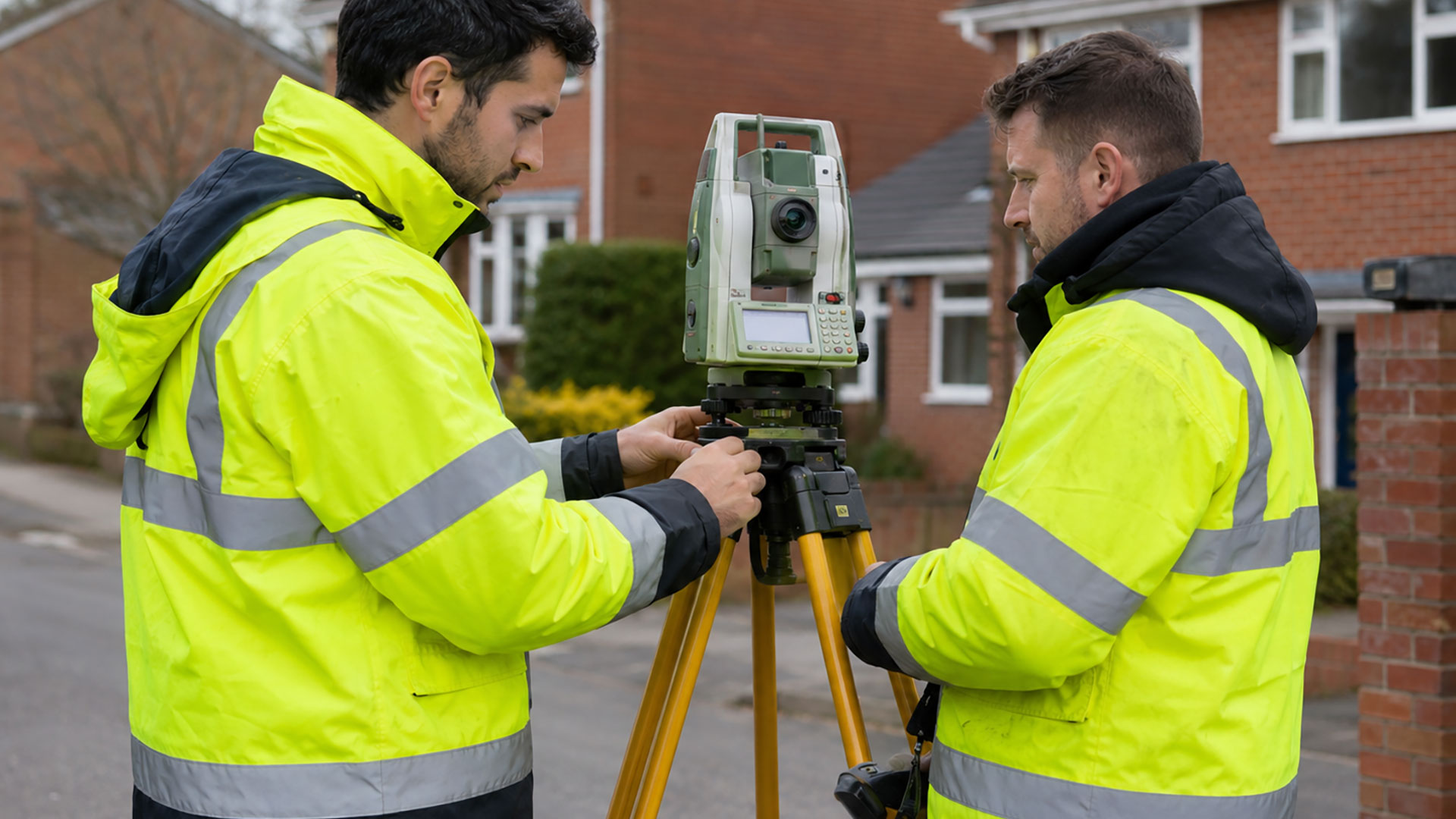
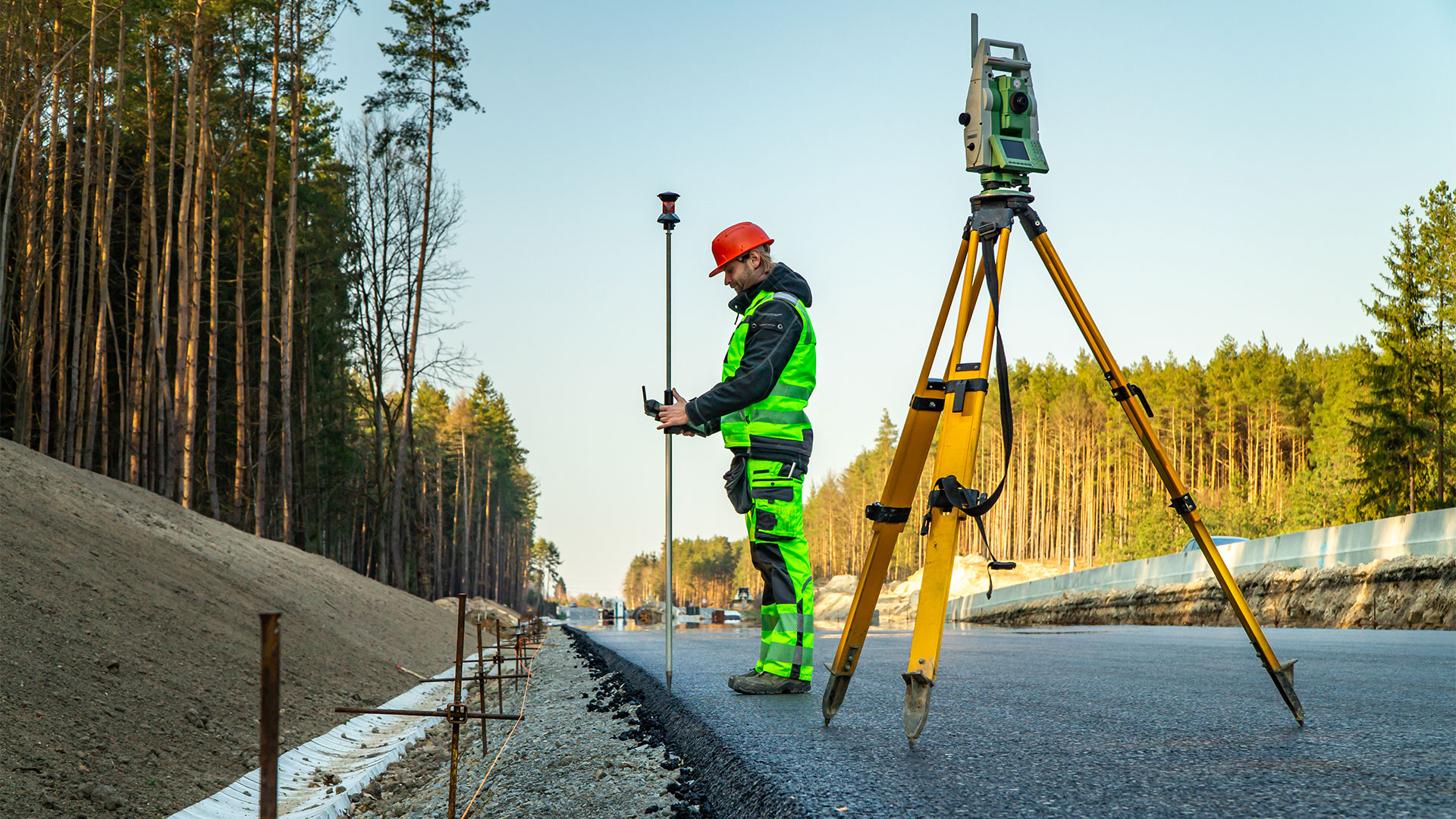
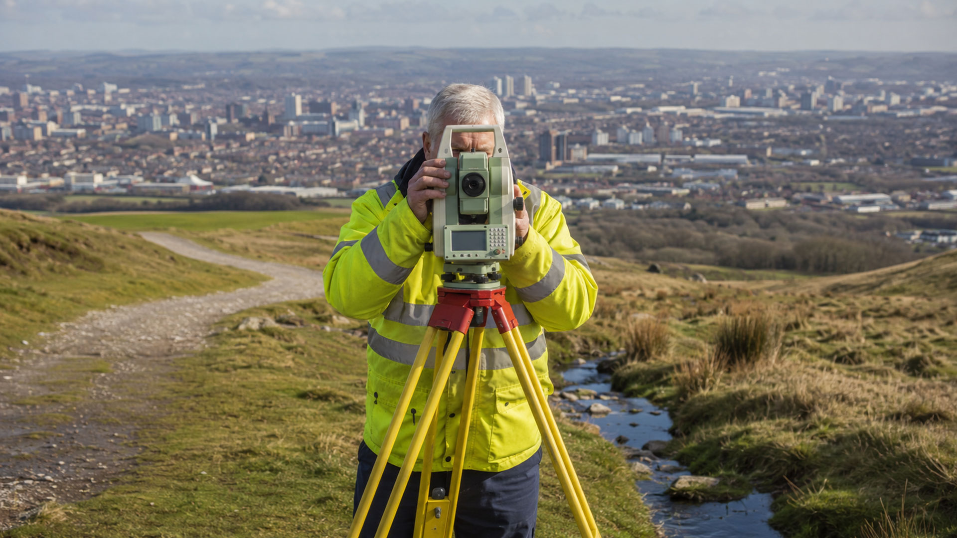
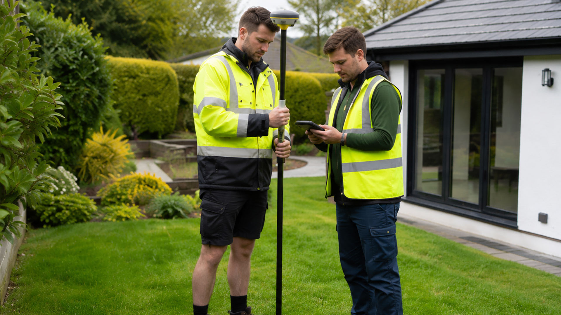
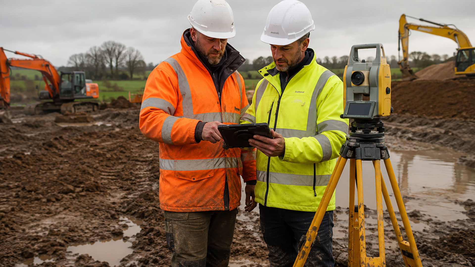
At Datum Land Surveys, we use professional GPS surveying equipment to measure relevant features across a property and its surroundings. Depending on the site, these may include buildings, roads, walls, fences, hedges and access routes. We can also record visible evidence of former boundary features, such as an earlier fence line or signs of a change in occupation.
This information is brought together in a structured drawing, creating a measured picture of the site as it stands today. The survey can be considered alongside digital Ordnance Survey mapping and relevant HM Land Registry documentation. Reviewing these sources together is important because a single physical feature or plan may not provide enough information to understand the boundary.
You might need a boundary determination survey before replacing fencing, planning an extension, buying or selling land, changing access arrangements or discussing a boundary concern with a neighbouring property owner. The resulting drawing can also help solicitors and other property professionals when they’re advising clients about a boundary issue. One important consideration is that most HM Land Registry title plans show general boundaries, not the exact legal line. The red edging on a title plan shouldn’t be treated as a precise measurement that can simply be transferred to the ground. Similarly, a measured survey doesn’t automatically establish legal ownership.
Where further interpretation is needed, the survey drawing can be provided to a solicitor or another suitably qualified adviser. If you’re considering a formal determined-boundary application, additional supporting documents and professional legal advice may be necessary.
We provide completed boundary survey drawings in clear 2D PDF format, with DWG files available for professional CAD use. The content is agreed beforehand to ensure the finished drawing meets the intended requirements. For boundary determination surveys in Ellesmere Port, contact Datum Land Surveys to discuss how our surveying services can help.
Call us on 0800 7720495 or 07973 683468, or drop us a line at info@datumlandsurveys.uk