Topographical Surveys

Datum Land Surveys

See the complete shape of your site

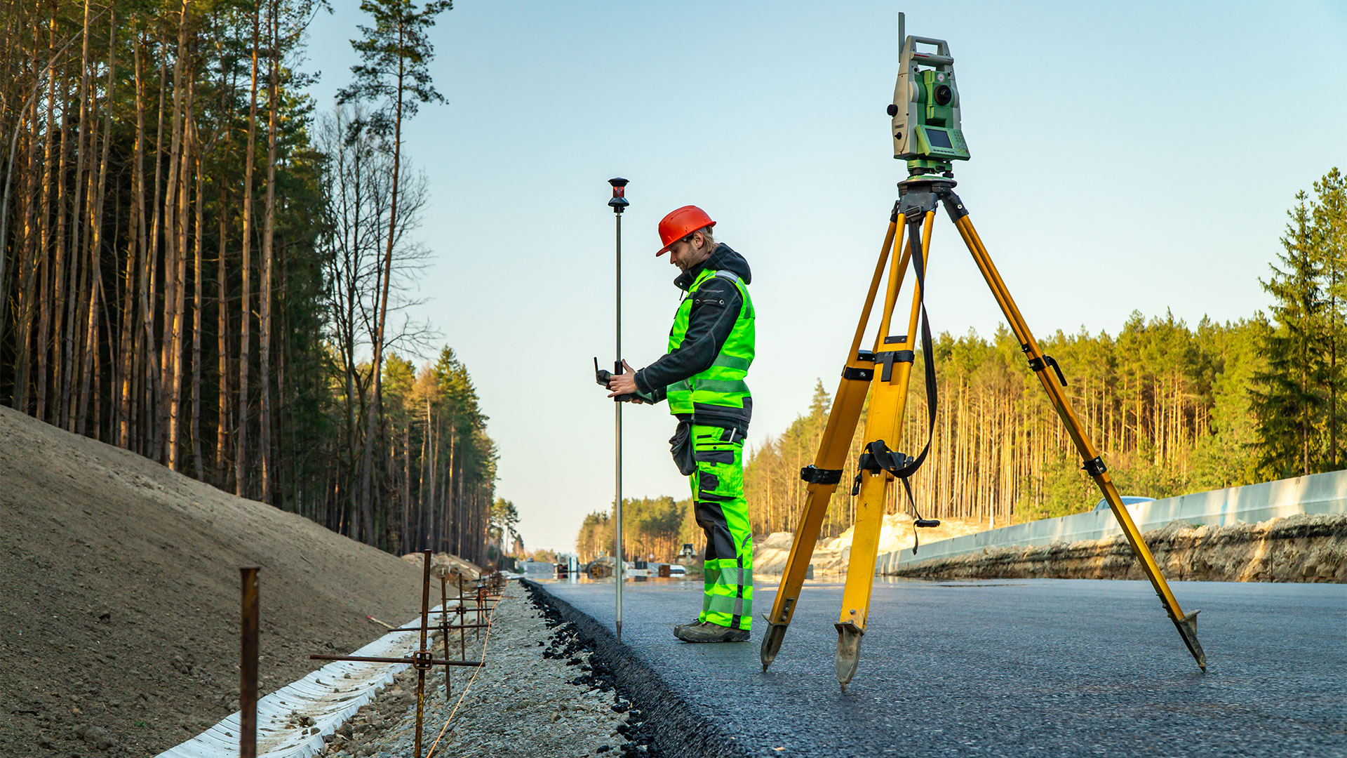
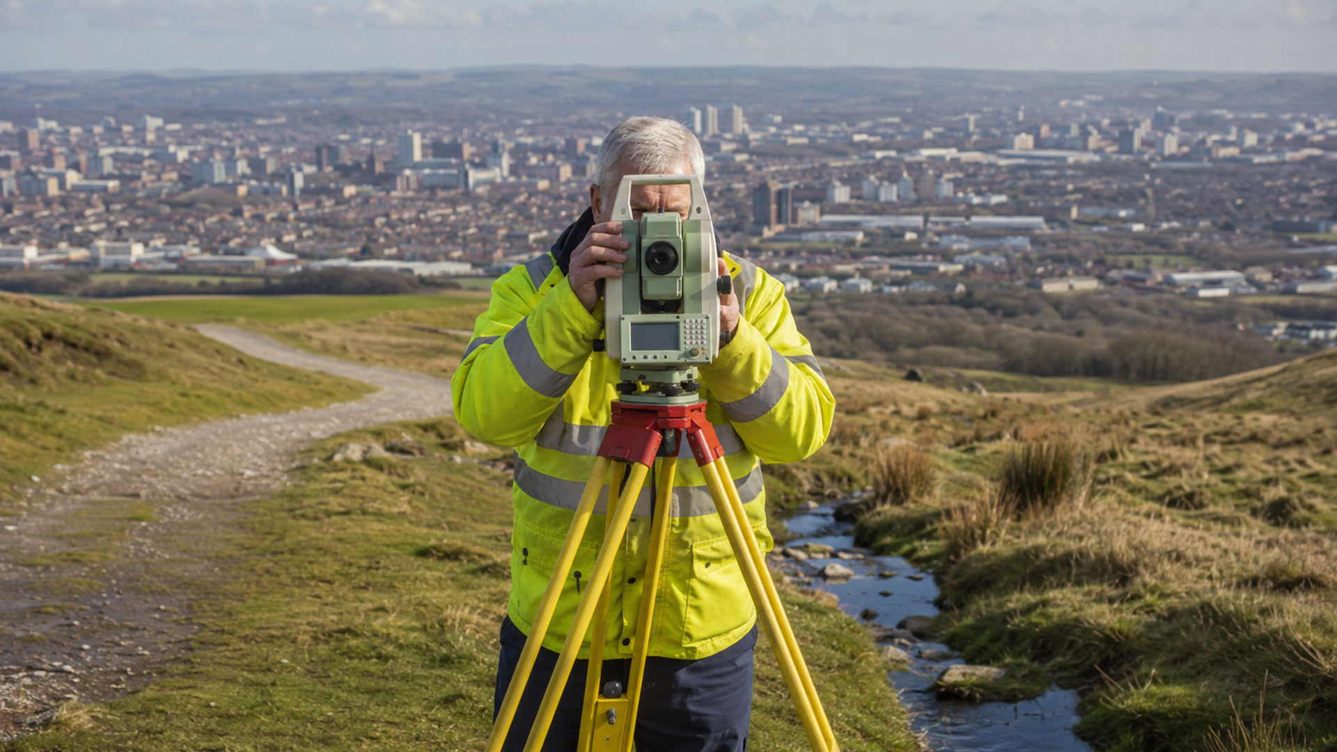
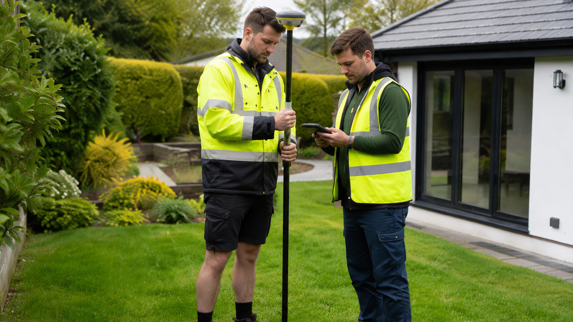
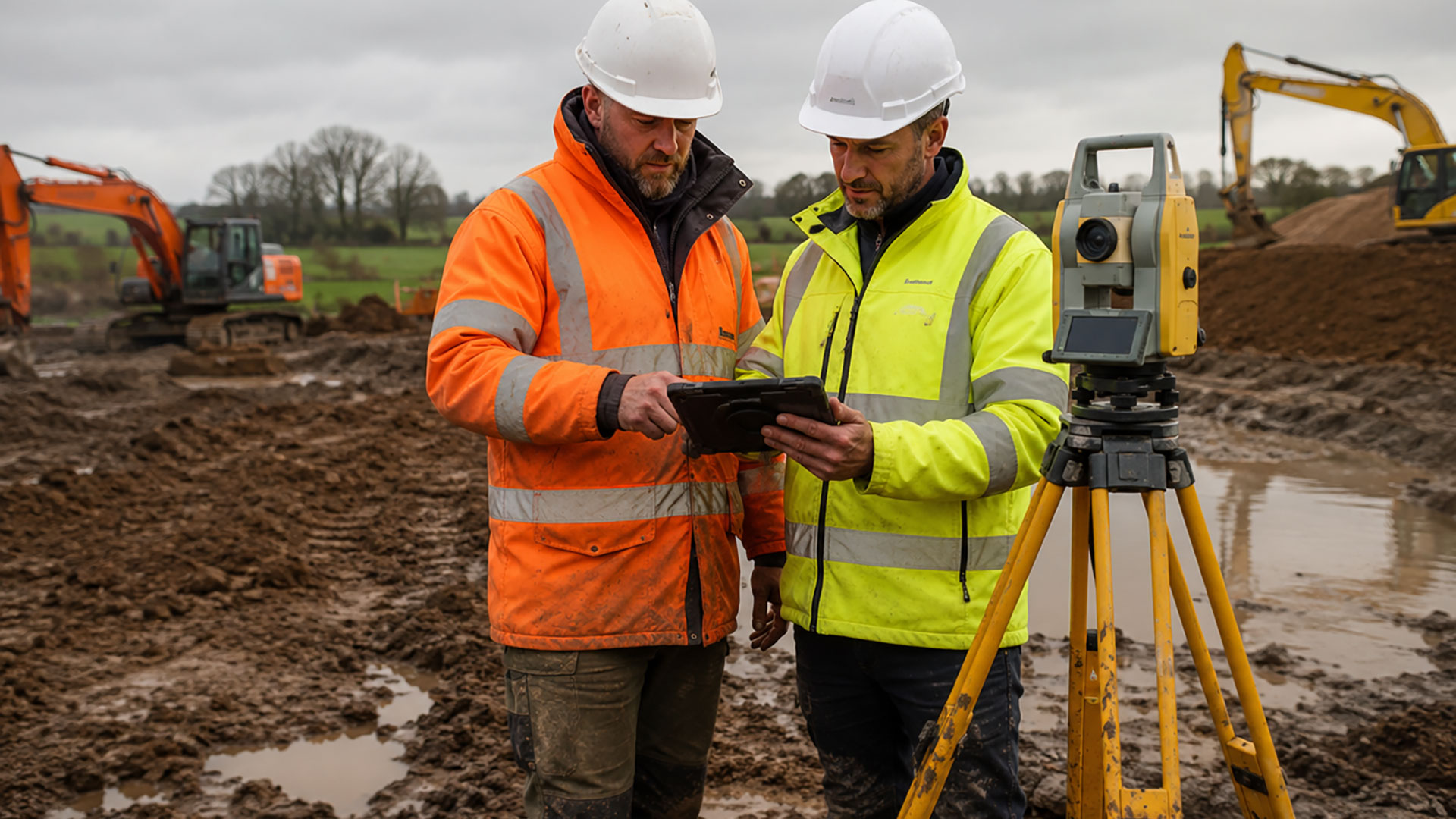
A site is defined not only by its boundaries and buildings, but also by its levels, slopes and surrounding features. A topographical survey creates a detailed measured record of the land as it exists today, giving the wider project team a reliable base for planning and design.

Understanding More Than the Site Plan
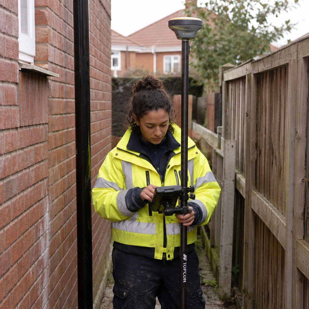
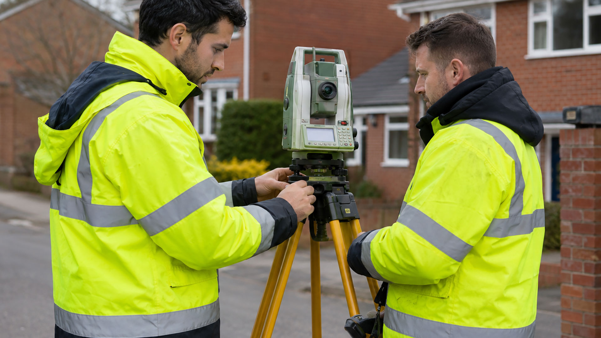
Datum Surveys records the position of the relevant natural and constructed features, together with ground levels and contours where required. The finished drawing can show buildings, roads, paths, kerbs, walls, fences, trees, drainage features, utility covers, access points and changes in surface or level.

This information helps architects, developers, engineers and planning professionals understand how the site works before proposals are developed. Levels can influence the position of a building, the design of an entrance, the movement of water and the amount of ground work required. Identifying these factors early creates a stronger foundation for the design process.

Tailored to the Project
A constrained urban site in Manchester or Liverpool may require close attention to neighbouring buildings, roads and access. A development plot near Warrington, in Cheshire or across Lancashire may place greater emphasis on contours, trees, drainage and wider site features. The survey scope is agreed around the location and the decisions the drawing needs to support.

Topographical surveys can be used for new developments, extensions, planning applications, civil engineering, landscape design, drainage proposals, access improvements and early feasibility work.

Clear Data for Design
The completed topographical drawing is supplied in 2D PDF and DWG formats, providing an accessible plan for review and an editable CAD file for the professional project team.
Datum Land Surveys

Professional Surveying Services

From boundary surveys to drone surveys, Datum Surveys provides accurate, reliable surveying services across Manchester, Liverpool, St Helens, Warrington, St Helens and the wider North West, helping homeowners, architects, developers and businesses make informed decisions.

Datum Land Surveys

Boundary Surveys

A measured record of fences, walls, buildings, roads and other physical features, helping to create a clearer understanding of an existing property boundary.

Land Surveyor on Road

Boundary Determination Surveys

Detailed measured evidence and survey drawings that can support boundary investigations, professional advice and applications relating to a determined boundary.

Datum Land Surveys

Measured Land Surveys

Accurate plans of land, boundaries, buildings, access points and external features for property, planning and design purposes.

Datum Land Surveys

Measured Building Surveys

Accurate plans of land, boundaries, buildings, access points and external features for property, planning and design purposes.

Datum Land Surveys

Topographical Surveys

A detailed record of site features, levels and contours to support architects, developers, engineers and planning professionals.

Drone Surveys

Drone Surveys

Efficient aerial data capture for large, complex and difficult-to-access sites, delivering accurate information quickly across the North West.

Let’s work together!

Share your ideas and let’s start planning your next project. Our professional team is ready to help bring your vision to life.

Why Choose Datum Surveys?

At Datum Surveys, we combine experience, precision and modern surveying technology to deliver accurate, reliable results. Whether you're a homeowner, architect, developer or commercial client, we're committed to providing professional surveys you can trust.

Accurate Results

Using modern surveying equipment and proven techniques, we capture precise site data you can rely on for planning, design and construction.

Professional Service

From your initial enquiry to the delivery of your drawings, we provide clear communication, dependable advice and a friendly, professional approach.

Fast Turnaround

We understand the importance of keeping projects moving, delivering accurate surveys and professional drawings promptly without compromising quality.