Modern boundary determination surveys for Warrington

Datum Land Surveys

Modern boundary determination surveys in Warrington provide a precise record of what’s on the ground, helping assess the evidence with far greater confidence.

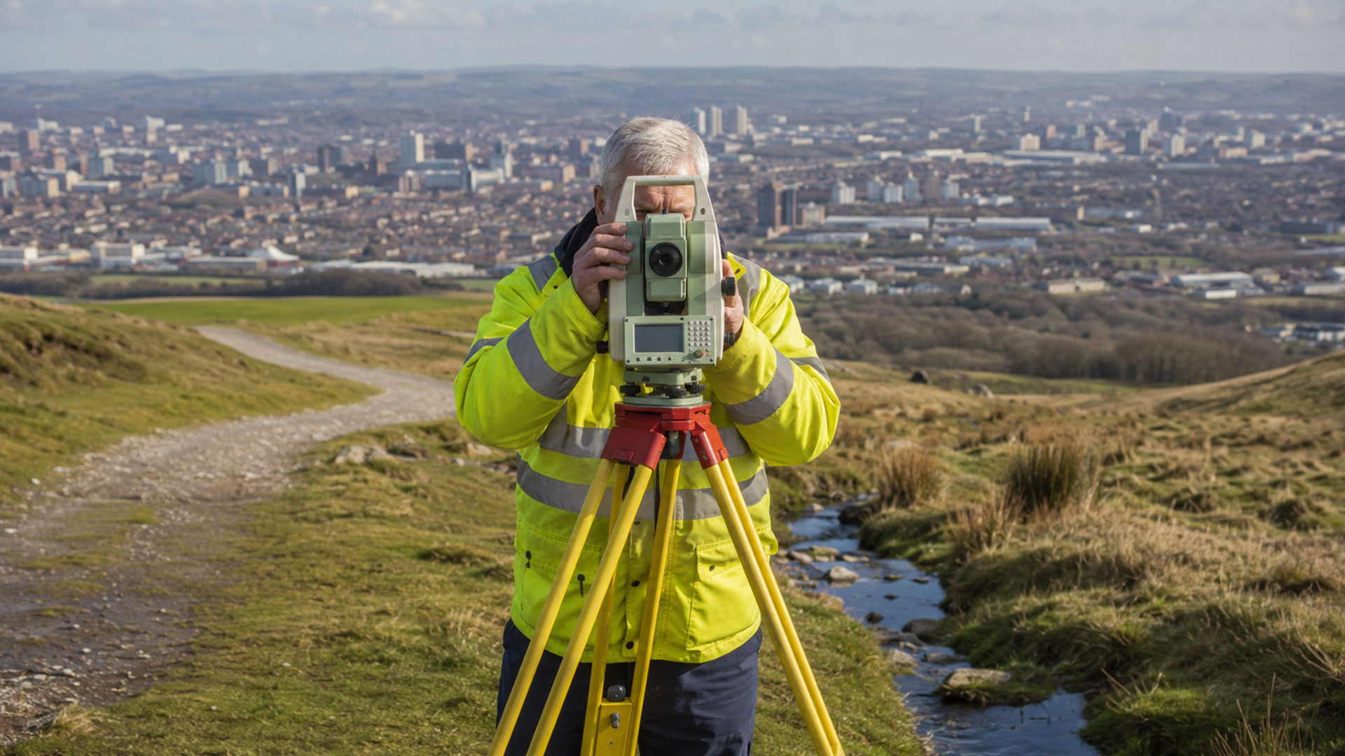
When questions arise over the position of a property boundary, accuracy matters. A fence might have been moved, a wall could be altered and landscaping often conceals evidence of an earlier boundary. Boundary determination surveys, such as those we conduct in and around Warrington, use state-of-the-art technology.

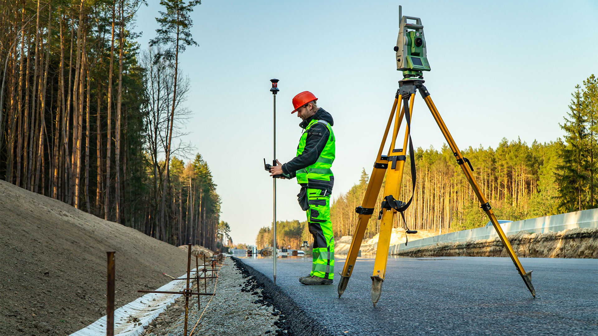
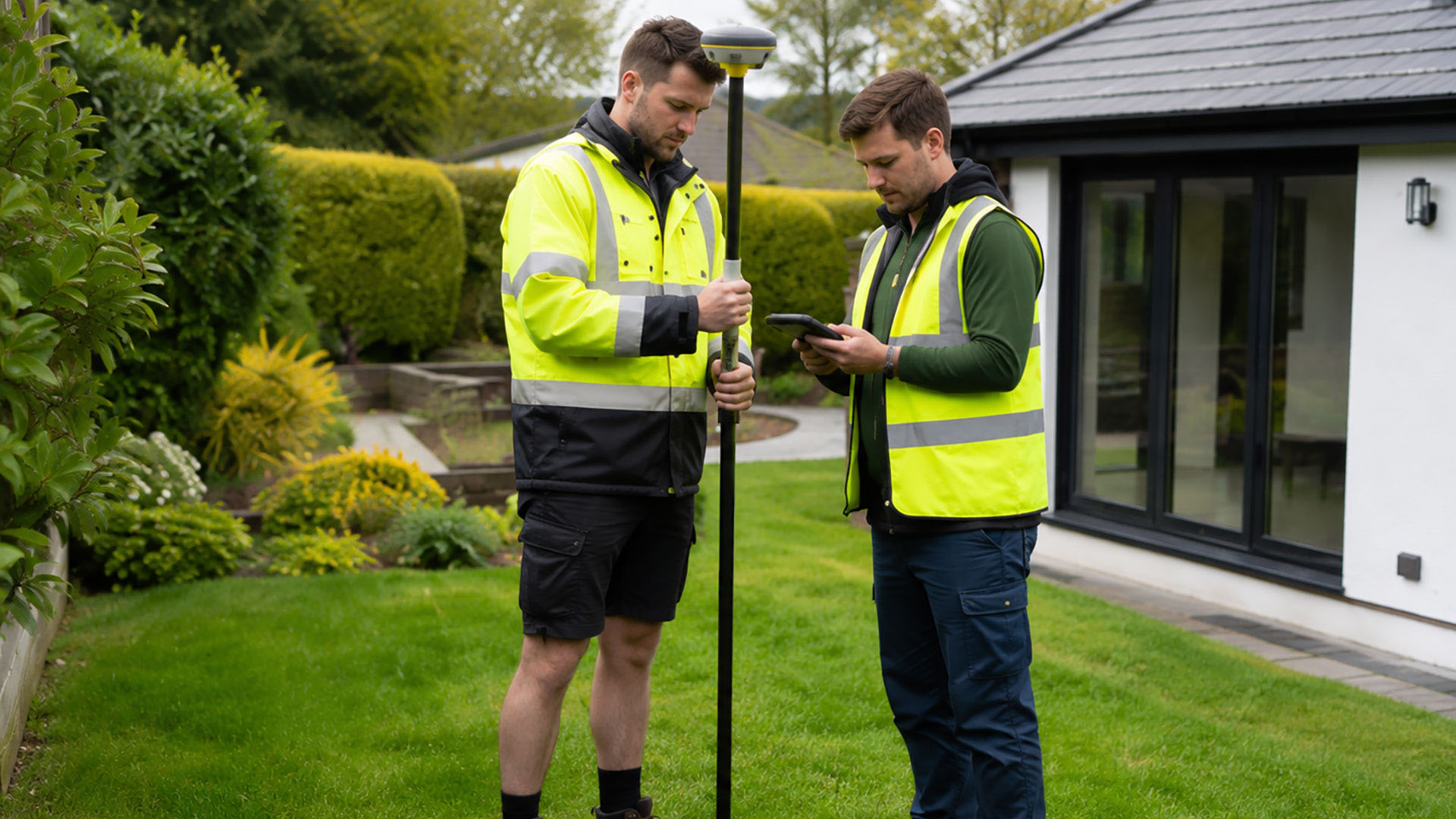
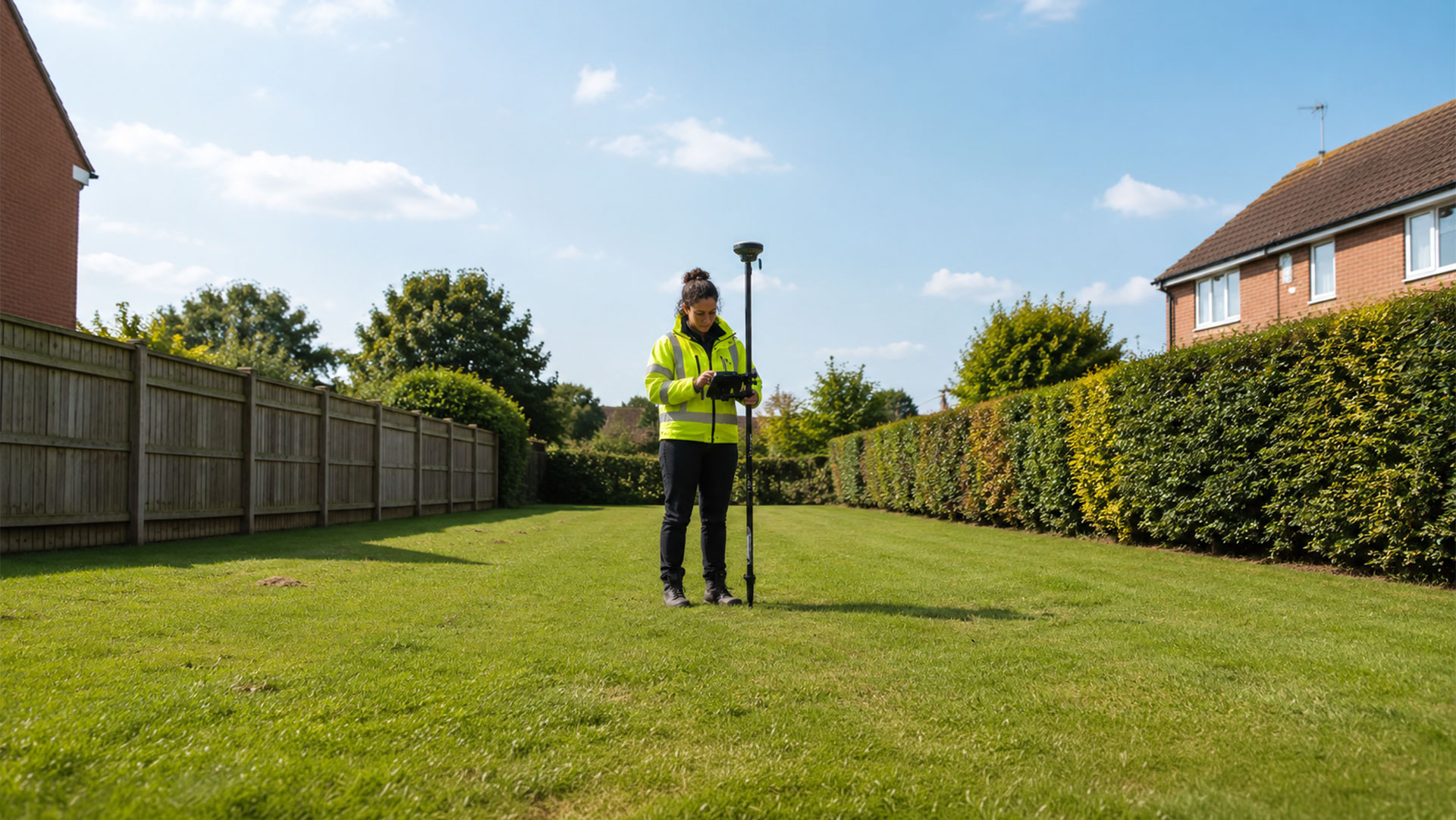
At Datum Land Surveys, we use professional GPS boundary surveying equipment to capture the position of relevant features around a property. Depending on the site, this may include buildings, roads, walls, fences, hedges, access routes and other physical features that will help establish the historical or current arrangement of the land. Evidence of former fences, walls, or indeed changes in occupation, can also be recorded where that remains visible.

The value of a modern boundary survey is not simply the accuracy of the equipment. It’s also the way the measured information is brought together and presented. A boundary is rarely established by looking at one feature in isolation. Boundary determination survey measurements can be considered alongside digital Ordnance Survey mapping, title information and other relevant documents, creating a more comprehensive picture of the evidence available.

This can be particularly important where properties have evolved over many years. In established urban areas, extensions, replacement fencing, alleyways and altered walls can make the apparent boundary quite different from its historic position. On larger suburban or rural properties, boundaries may run across extensive areas where physical features are less obvious.

It’s also important to understand what a boundary survey can and cannot establish. HM Land Registry title plans generally show general boundaries rather than an exact legal line. A boundary determination survey provides accurate technical information about the physical evidence; it doesn’t by itself provide a legal determination of ownership, but it provides invaluable evidence. Where legal interpretation is required, the measured survey will be supplied to a solicitor or another suitably qualified professional for consideration. With modern surveying technology and careful professional measurement, boundary determination surveys in Warrington and elsewhere provide an exceptionally accurate foundation for understanding complex property boundaries and deciding what steps should be taken next.

Call us on 0800 7720495 or 07973 683468, or drop us a line at info@datumlandsurveys.uk
Leave a comment

Professional Surveying Services

From boundary surveys to drone surveys, Datum Surveys provides accurate, reliable surveying services across Manchester, Liverpool, St Helens, Warrington, St Helens and the wider North West, helping homeowners, architects, developers and businesses make informed decisions.

Datum Land Surveys

Boundary Surveys

A measured record of fences, walls, buildings, roads and other physical features, helping to create a clearer understanding of an existing property boundary.

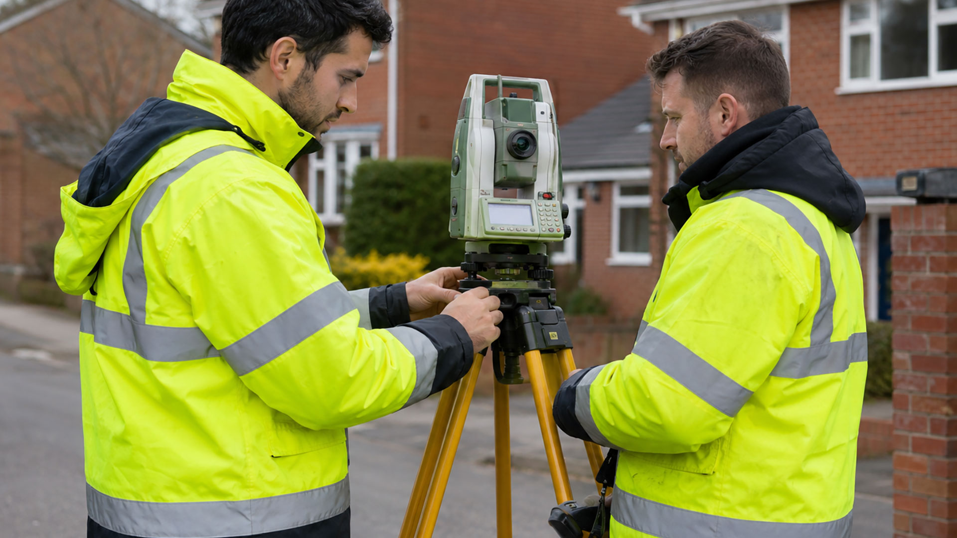
Land Surveyor on Road

Boundary Determination Surveys

Detailed measured evidence and survey drawings that can support boundary investigations, professional advice and applications relating to a determined boundary.

Datum Land Surveys

Measured Land Surveys

Accurate plans of land, boundaries, buildings, access points and external features for property, planning and design purposes.

Datum Land Surveys

Measured Building Surveys

Accurate plans of land, boundaries, buildings, access points and external features for property, planning and design purposes.

Datum Land Surveys

Topographical Surveys

A detailed record of site features, levels and contours to support architects, developers, engineers and planning professionals.

Drone Surveys

Drone Surveys

Efficient aerial data capture for large, complex and difficult-to-access sites, delivering accurate information quickly across the North West.

Let’s work together!

Share your ideas and let’s start planning your next project. Our professional team is ready to help bring your vision to life.

Why Choose Datum Surveys?

At Datum Surveys, we combine experience, precision and modern surveying technology to deliver accurate, reliable results. Whether you're a homeowner, architect, developer or commercial client, we're committed to providing professional surveys you can trust.

Accurate Results

Using modern surveying equipment and proven techniques, we capture precise site data you can rely on for planning, design and construction.

Professional Service

From your initial enquiry to the delivery of your drawings, we provide clear communication, dependable advice and a friendly, professional approach.

Fast Turnaround

We understand the importance of keeping projects moving, delivering accurate surveys and professional drawings promptly without compromising quality.

Datum Land Surveys
Privacy Overview

This website uses cookies so that we can provide you with the best user experience possible. Cookie information is stored in your browser and performs functions such as recognising you when you return to our website and helping our team to understand which sections of the website you find most interesting and useful.