Datum Land Surveys conduct boundary determination surveys in Cheshire. We’re trusted by builders, architects and land owners for our accurate survey data.
Understanding the position of a property boundary can be important for all sorts of reasons. You might be considering a new fence, planning an extension, buying or selling land or dealing with a question raised by a neighbour. Whatever the circumstances, a professional boundary determination survey will provide accurate measured information about the features and evidence present on the site.
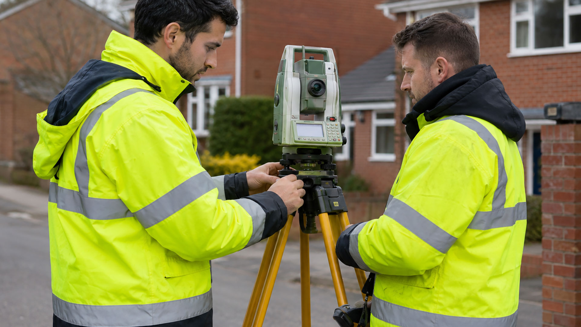
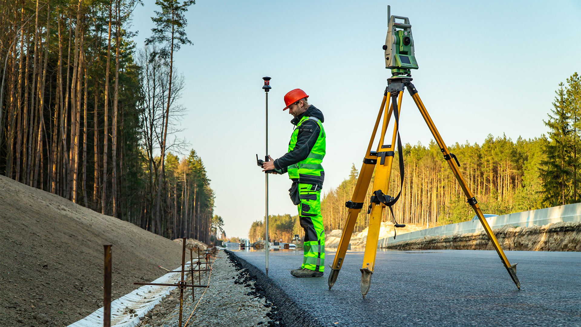
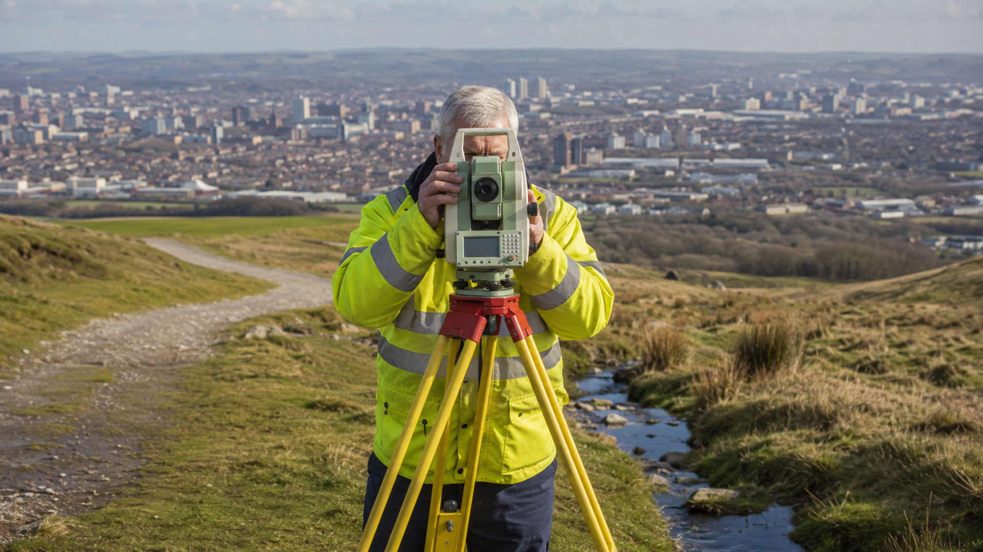
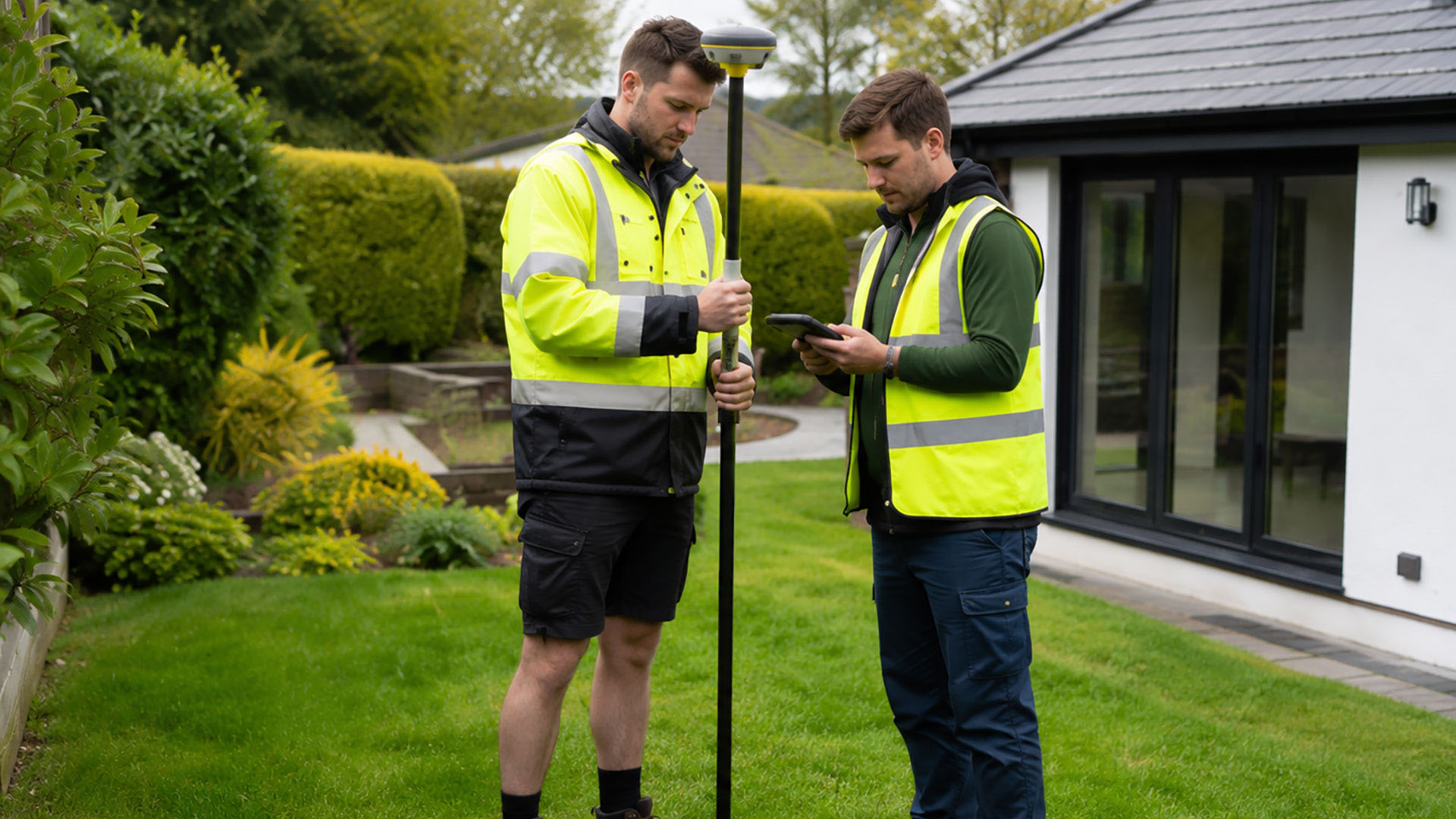
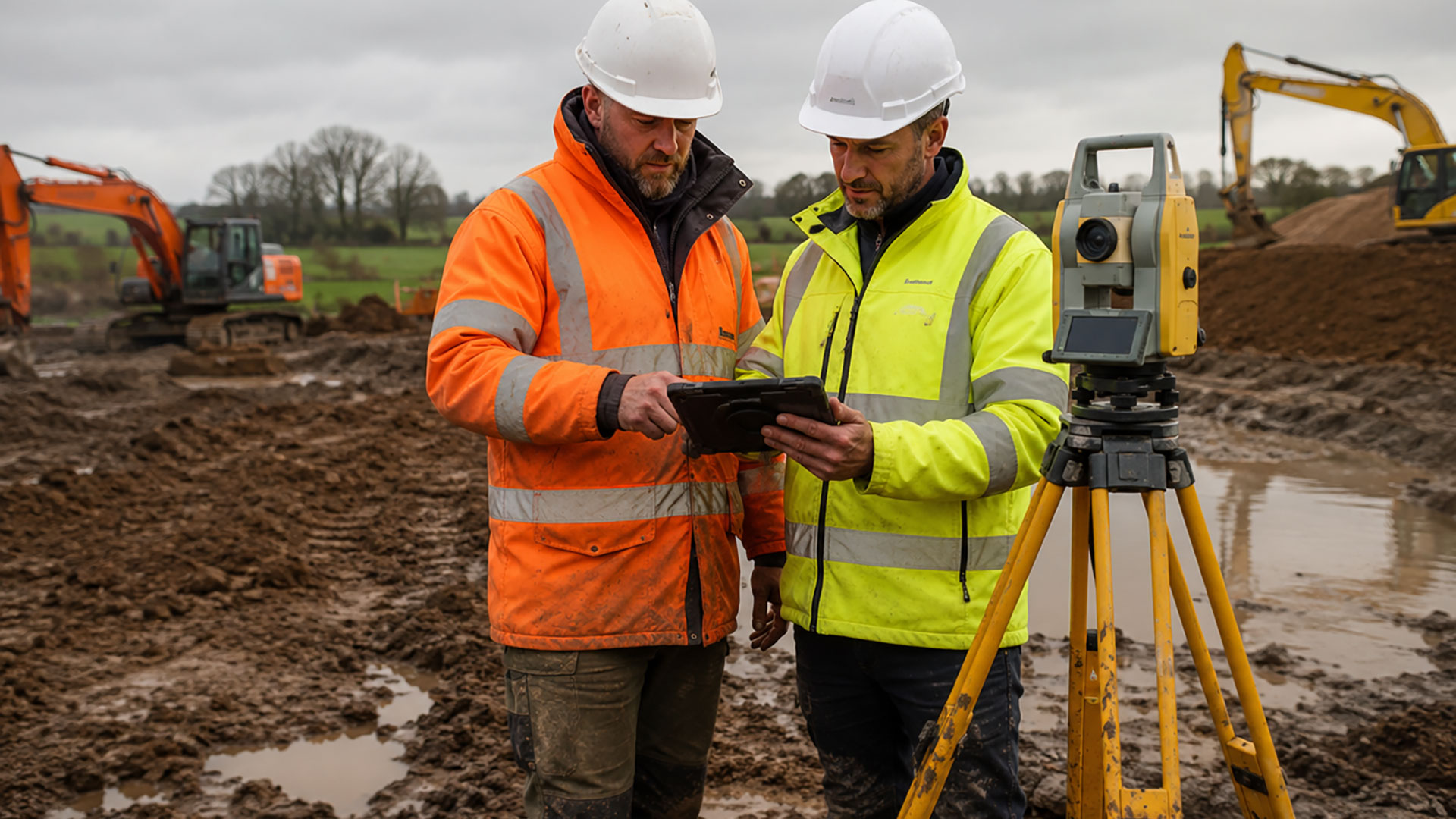
To conduct our boundary determination surveys, Datum Land Surveys use professional GPS surveying equipment to record the physical arrangement of a property and its surroundings. Depending on the requirements, this can include buildings, roads, walls, fences, hedges, access routes and other visible features. Where remnants of an earlier fence line, wall or change in occupation can be identified, these may also be included in the measured record.
It’s important not to assume that one feature will necessarily establish the complete boundary position. A fence could have been replaced or moved, while an older wall might remain hidden by planting. Similarly, HM Land Registry title plans generally show the general extent of registered land rather than an exact legal boundary. That’s why boundary determination surveys are invaluable in Cheshire, where many historic boundaries have drifted over the years.
Our boundary determination survey information can be considered alongside digital Ordnance Survey mapping and relevant Land Registry documents. Combining the measured site information with these sources creates a more useful evidence base for understanding the property.
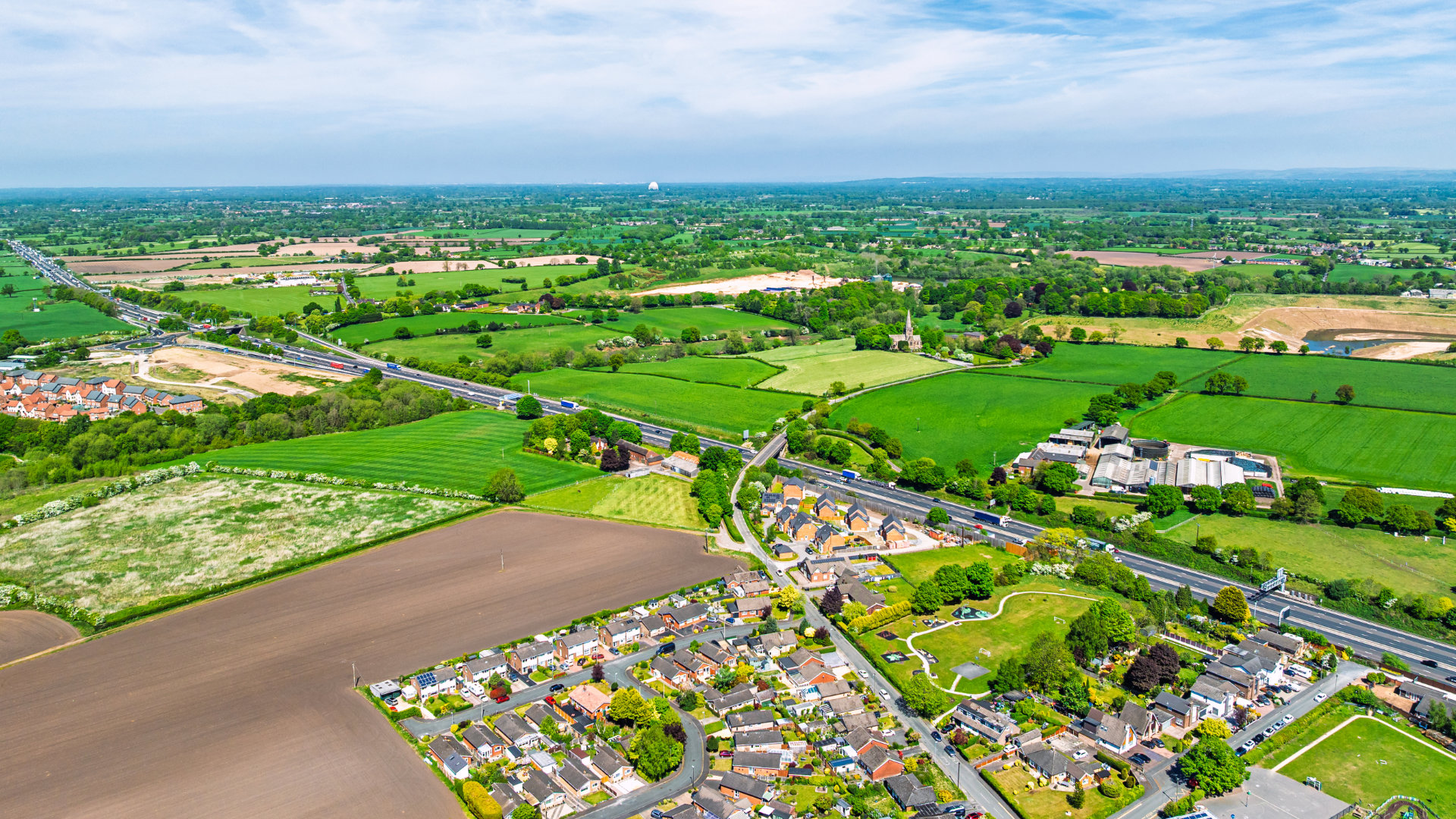
This region has a variety of residential, suburban and rural settings, and each site may present its own challenges. On a larger property, relevant boundary features may be spread across a substantial area. Elsewhere, walls, fences, access routes or changes to buildings may make the apparent boundary more complicated than expected. A boundary determination survey provides useful information before work begins on a property, during a land transaction or when a boundary concern needs to be raised with a neighbour. It can also support solicitors, surveyors and other professionals when they’re considering the available evidence and advising their clients.
Our role is to produce an accurate measured plan, not to provide a legal ruling on ownership. However, where formal legal interpretation is required, drawings from our boundary determination survey can be supplied to a suitably qualified adviser to use as evidence. Indeed completed surveys are provided as clear 2D PDF drawings, with DWG files available for professional CAD use. We agree the content in advance so the survey meets its intended purpose. If you need a clearer understanding of a property boundary, ask about Datum’s boundary determination surveys in Cheshire. Contact Datum Land Surveys to discuss your requirements.
Call us on 0800 7720495 or 07973 683468, or drop us a line at info@datumlandsurveys.uk