For boundary determination surveys Bolton architects, builders and property owners turn to Datum, for accurate results and attentive service.
A boundary may appear to be defined by a fence, wall or hedge, but that doesn’t necessarily mean the feature marks the exact legal position of the property line. Fences can be replaced, walls can be altered and older boundary evidence may become concealed over time. If you’re unsure where a boundary lies, an accurate boundary determination survey will help establish an precise measured record of the available evidence.
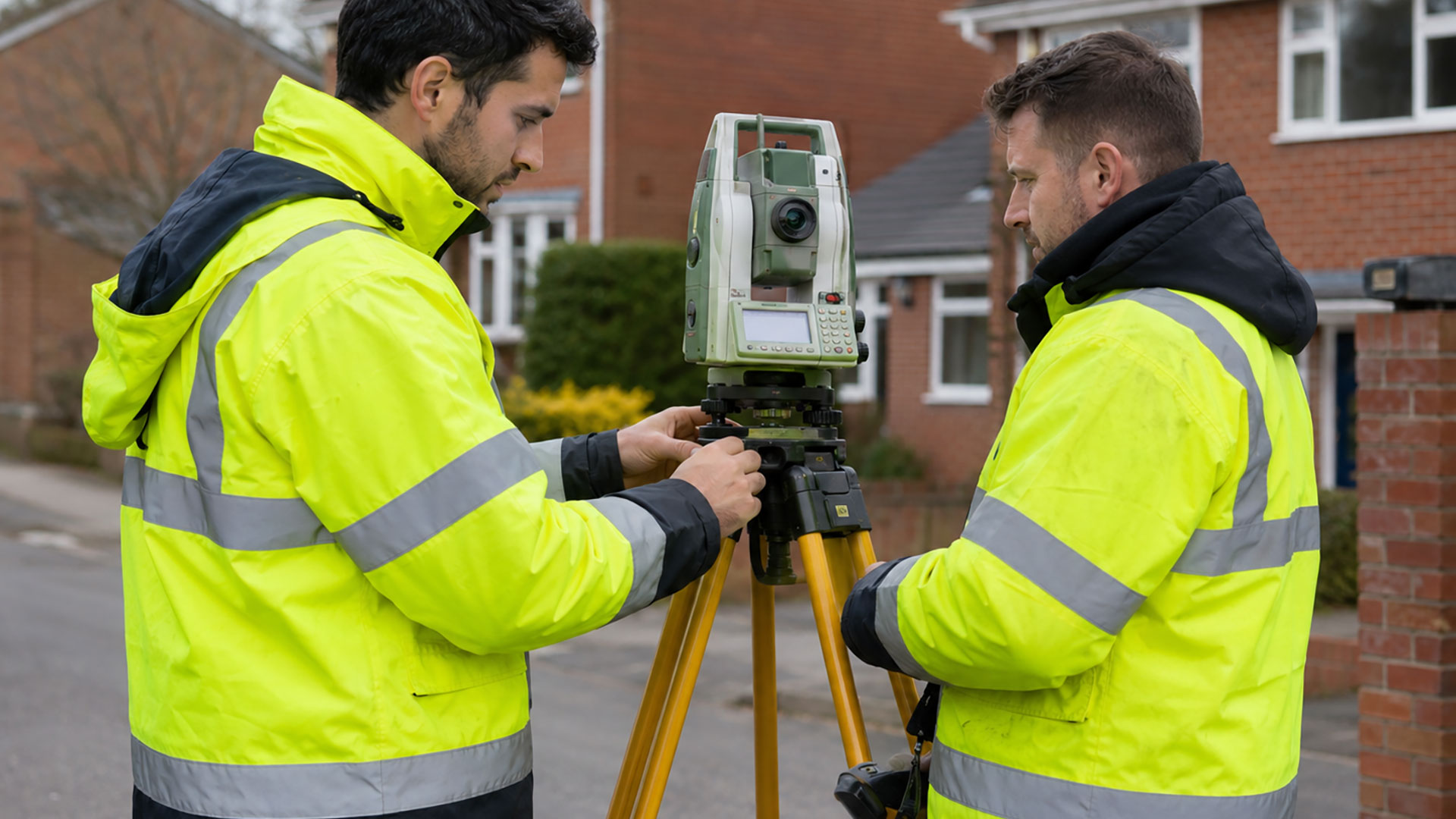
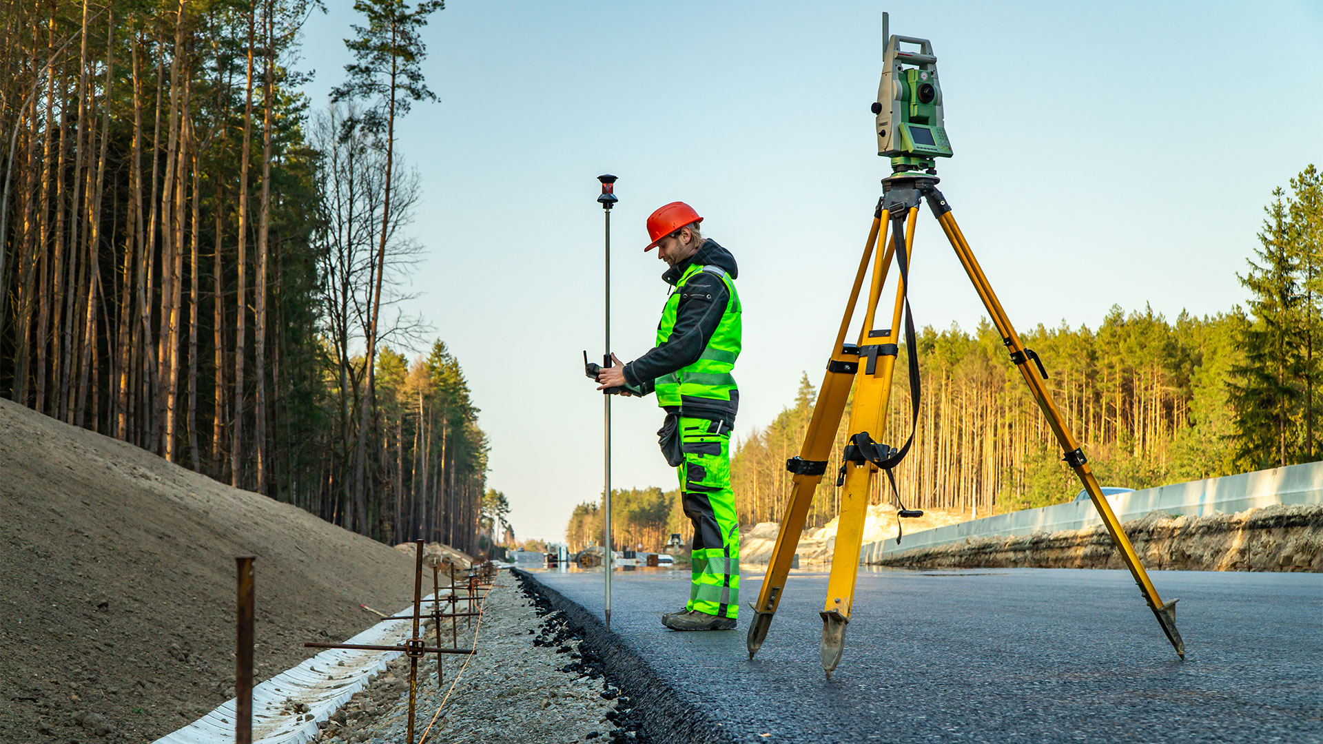
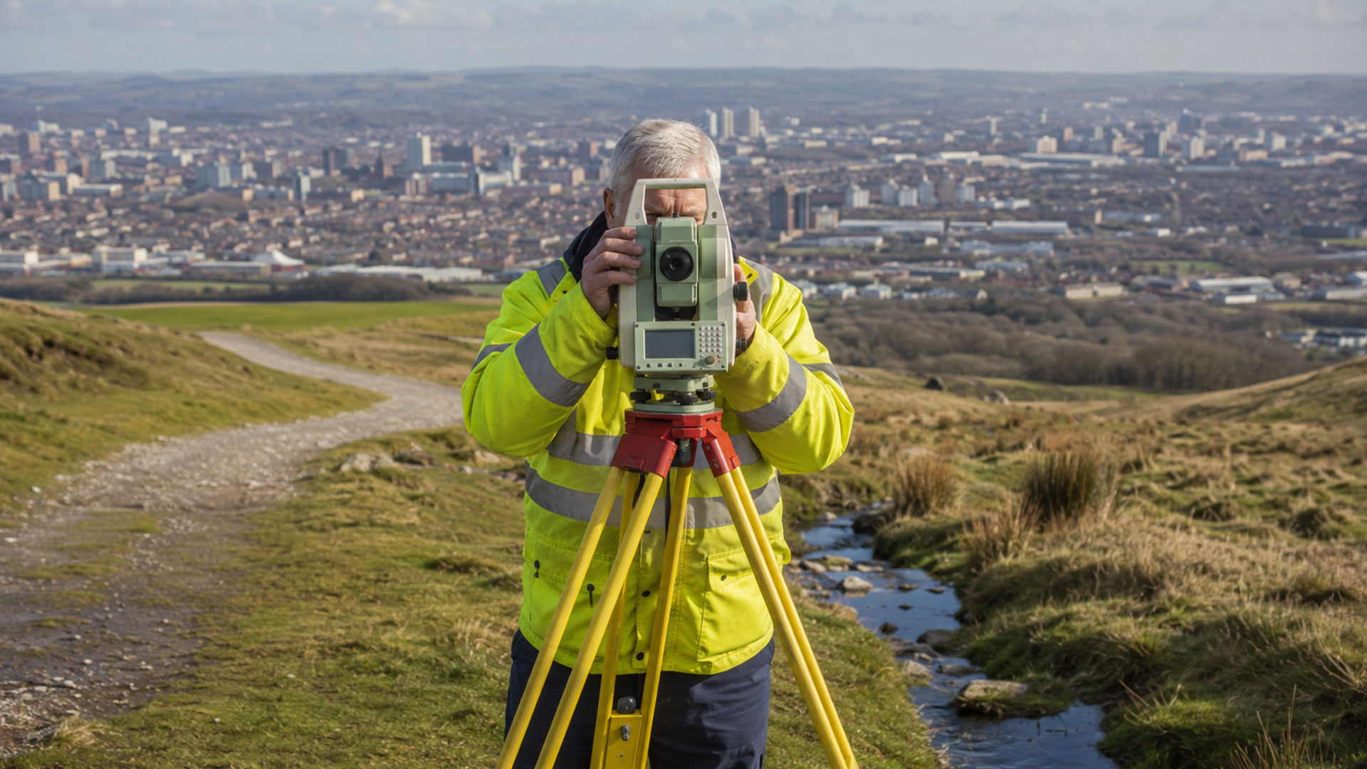
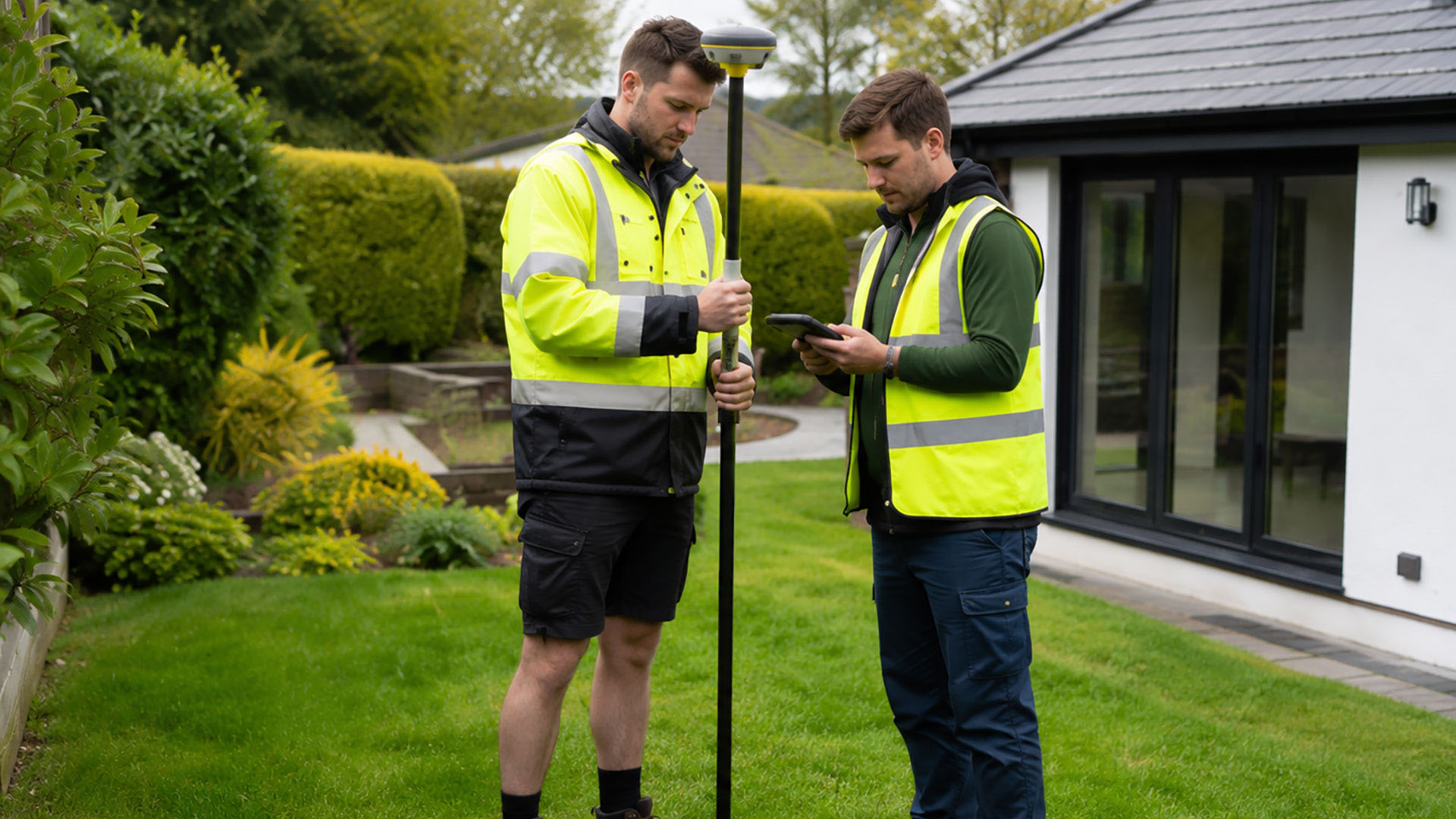
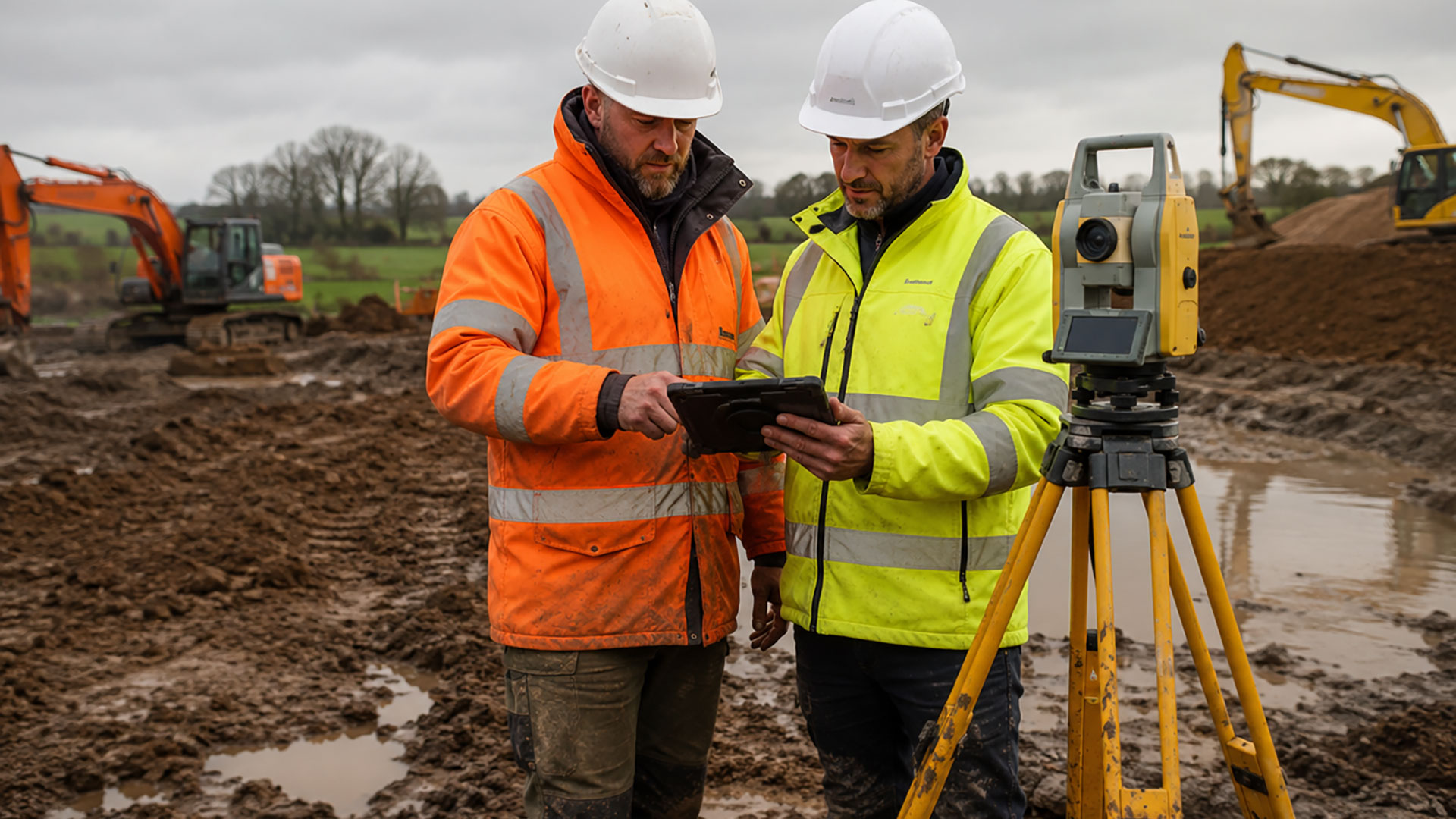
At Datum Land Surveys, our boundary determination surveys are executed using the latest in GPS surveying equipment to record relevant features across a property. Our surveyors can measure the position of buildings, roads, walls, fences, hedges and access routes, together with other visible features that may be relevant to the boundary. Where evidence of an earlier fence line, wall or change in occupation remains visible, this can also be included.
The information from a boundary determination survey provides a measured picture of the site as it stands today. However, understanding a boundary often involves more than measuring the current fence line. Survey information should be considered alongside digital Ordnance Survey mapping and relevant HM Land Registry documents, allowing the different sources of evidence to be reviewed together.
Boundary determination surveys are useful in Bolton when preparing to replace fencing, planning an extension, buying or selling land, changing an access route or discussing a boundary concern with a neighbour. Accurate measurements may also help solicitors and other property professionals when they’re advising clients about the appropriate next steps.
Older properties and established neighbourhoods can present particular challenges. Extensions, altered walls, replacement fencing and access arrangements may all affect how a boundary appears on the ground. On larger sites, relevant features may be spread across a wider area, making a structured survey drawing especially useful. A boundary determination survey provides technical evidence to support a legal determination. Most HM Land Registry title plans show general boundaries, and the red edging shouldn’t be treated as a precise measurement that can simply be transferred onto the ground. Where the legal position requires interpretation, our measured drawings can be provided to a solicitor or another suitably qualified adviser.
We supply completed survey drawings in clear 2D PDF format, with DWG files available for professional CAD use. The required content is agreed in advance, ensuring the survey is prepared for its intended purpose.
If you need reliable measured information about a boundary, talk to Datum Land Surveys. To book a boundary determination survey in Bolton or to discuss your requirements, contact us today.
Call us on 0800 7720495 or 07973 683468, or drop us a line at info@datumlandsurveys.uk