Do you need to determine the true line of your property boundaries? Our trusted boundary determination surveys in North Wales are accurate and reliable.
Knowing where your property ends and your neighbour’s begins isn’t always as straightforward as it might seem. Fences may have been replaced, walls altered or older boundary features hidden by vegetation. When there’s uncertainty about the precise position of a boundary, a professional boundary determination survey can provide valuable measured evidence to help clarify the situation.
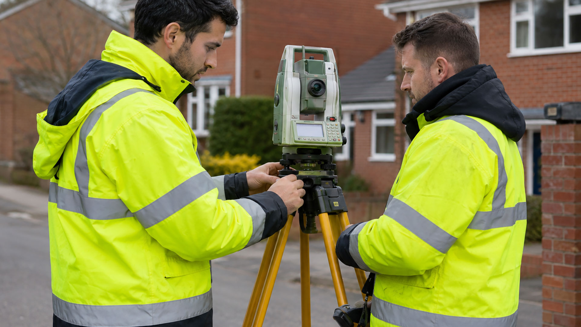
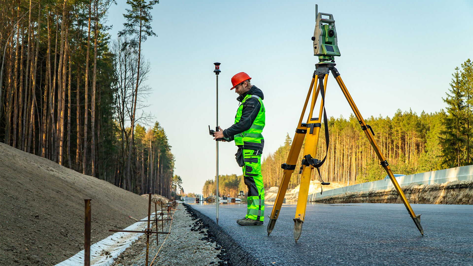
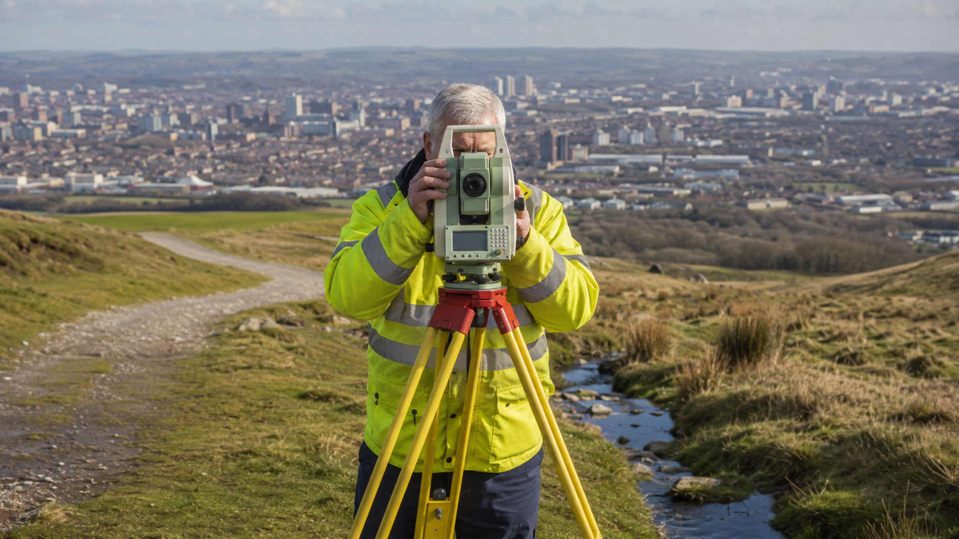
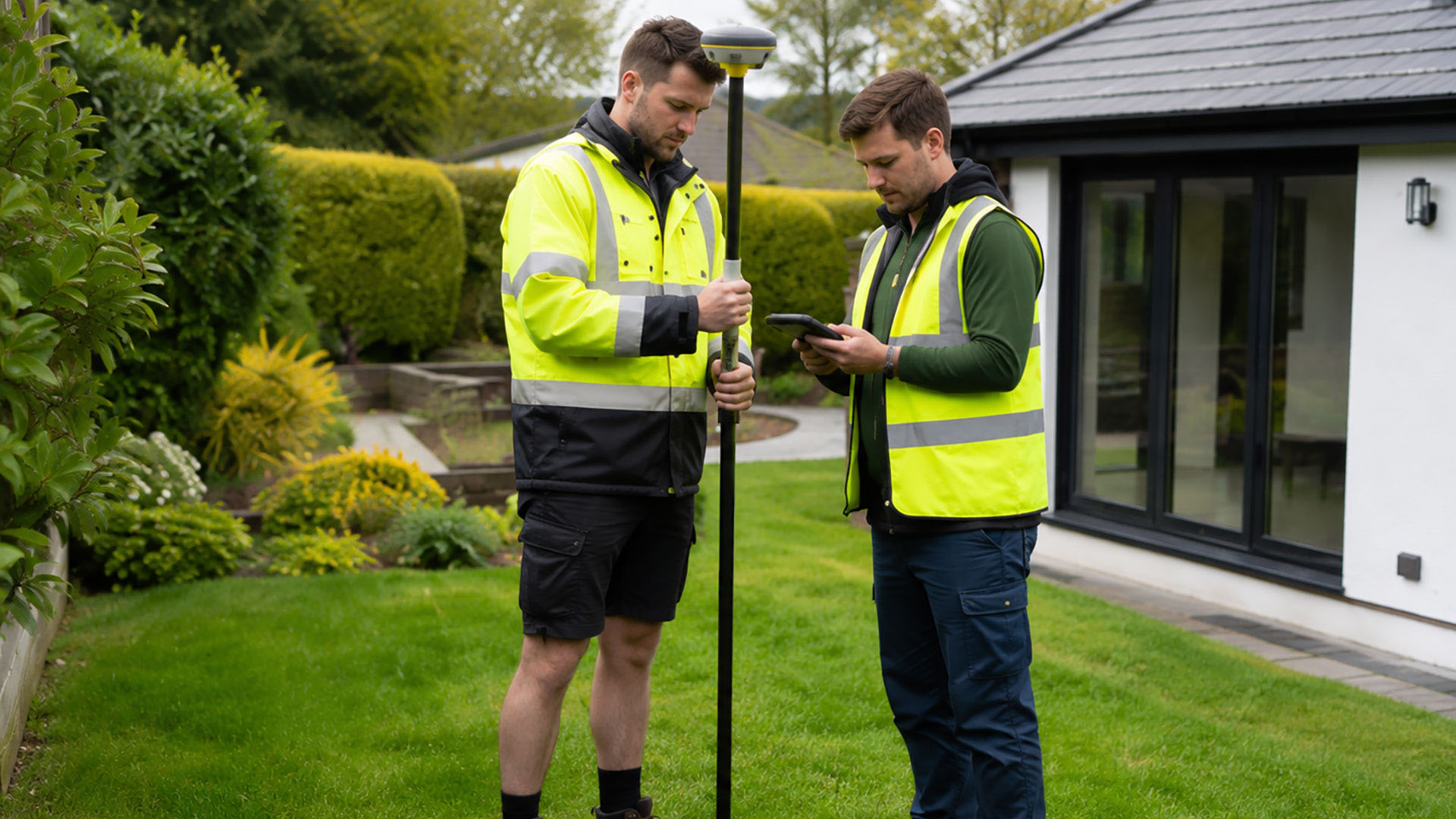
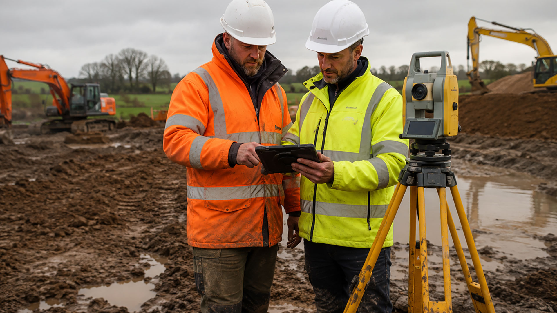
Datum’s boundary determination surveys use professional GPS surveying equipment to record the physical features of a property and its surroundings. Depending on the site, this may include buildings, roads, walls, fences, hedges and access routes. Where visible evidence of an earlier fence line, wall or change in occupation remains, this can also be included in the survey.
The aim of a boundary determination survey is to create an accurate record of the site as it stands today. However, a boundary shouldn’t be assessed by looking at one feature in isolation. A relatively new fence might not follow the original boundary, while an older wall could have been concealed by planting or other changes. Our survey information can therefore be considered alongside digital Ordnance Survey mapping and relevant HM Land Registry documents.
This measured approach of our boundary determination surveys in North Wales can be useful for a wide range of situations. You might be preparing to replace a fence, planning an extension, buying or selling land, changing an access route or trying to resolve a boundary concern with a neighbour. Accurate survey information can also help solicitors and other property professionals when advising their clients.
It’s worth remembering that most HM Land Registry title plans show general boundaries rather than an exact legal line. The red edging on a title plan shouldn’t simply be transferred to the ground as a precise measurement. The role of boundary determination surveys is to record and present the physical evidence, rather than provide a legal ruling on ownership.
We supply completed boundary survey drawings as clear 2D PDF files, with DWG files available for professional CAD use. The survey content is agreed in advance, ensuring the finished plan meets your requirements.
If you’re unsure about a property’s borders and would benefit from a boundary determination survey in North Wales, contact Datum Land Surveys to discuss how a professional survey using state-of-the-art methods could help.
Call us on 0800 7720495 or 07973 683468, or drop us a line at info@datumlandsurveys.uk