When the Best Place to Understand a Site Is Above It
A site viewed from ground level can be difficult to understand as a whole. Buildings interrupt sight lines, roofs remain hidden and larger areas take time to inspect. Drone surveying changes that perspective by capturing detailed aerial information that shows how the different parts of a site relate to one another.
The technology is impressive, but the real value lies in choosing the right method, controlling the data properly and producing an output that answers the client’s question.
More Than an Aerial Photograph
A single photograph can provide a useful overview, but professional drone surveying can go further. By capturing a series of overlapping images, it is possible to create an orthographic view that presents the site from directly above with much of the perspective distortion removed.
When the aerial data is combined with measured ground control, it can support accurately referenced plans and wider topographical information. This makes the output useful not only as a visual record, but as part of a professional surveying workflow.
Where Drone Capture Adds Value
Drone surveys can be particularly effective on larger development plots, commercial estates, roofs and sites where conventional access is difficult. They can help record construction progress, provide an overview of land and buildings or support the inspection of areas that would otherwise require additional access equipment.
In dense parts of Manchester and Liverpool, aerial imagery can reveal the relationship between roofs, yards, access routes and neighbouring structures. Around Warrington, Cheshire and Lancashire, the same approach can capture larger sites efficiently and show the wider setting in a single coordinated view.
Why Ground Surveying Still Matters
A drone does not make every other surveying method unnecessary. Features beneath trees, overhangs or dense vegetation may not be visible from above. Some dimensions are better recorded directly, and reliable survey control may be needed to position the aerial information accurately.
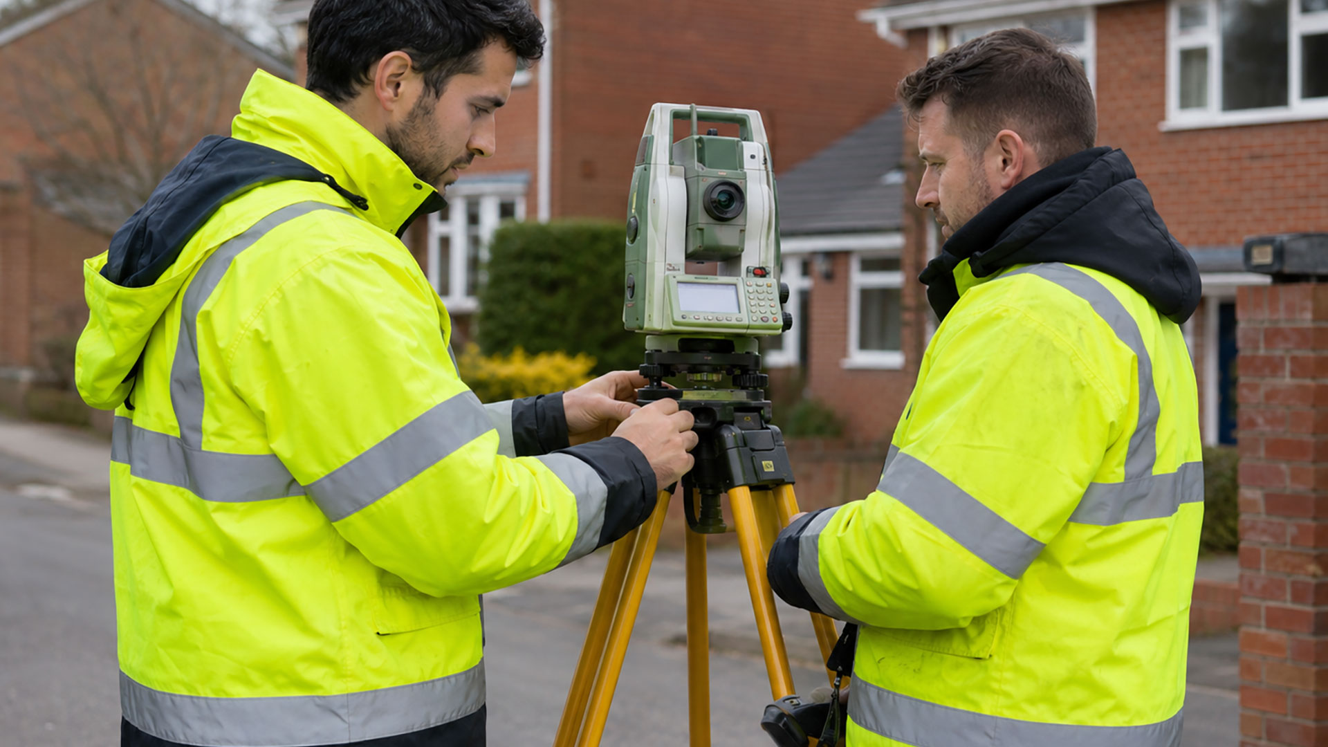
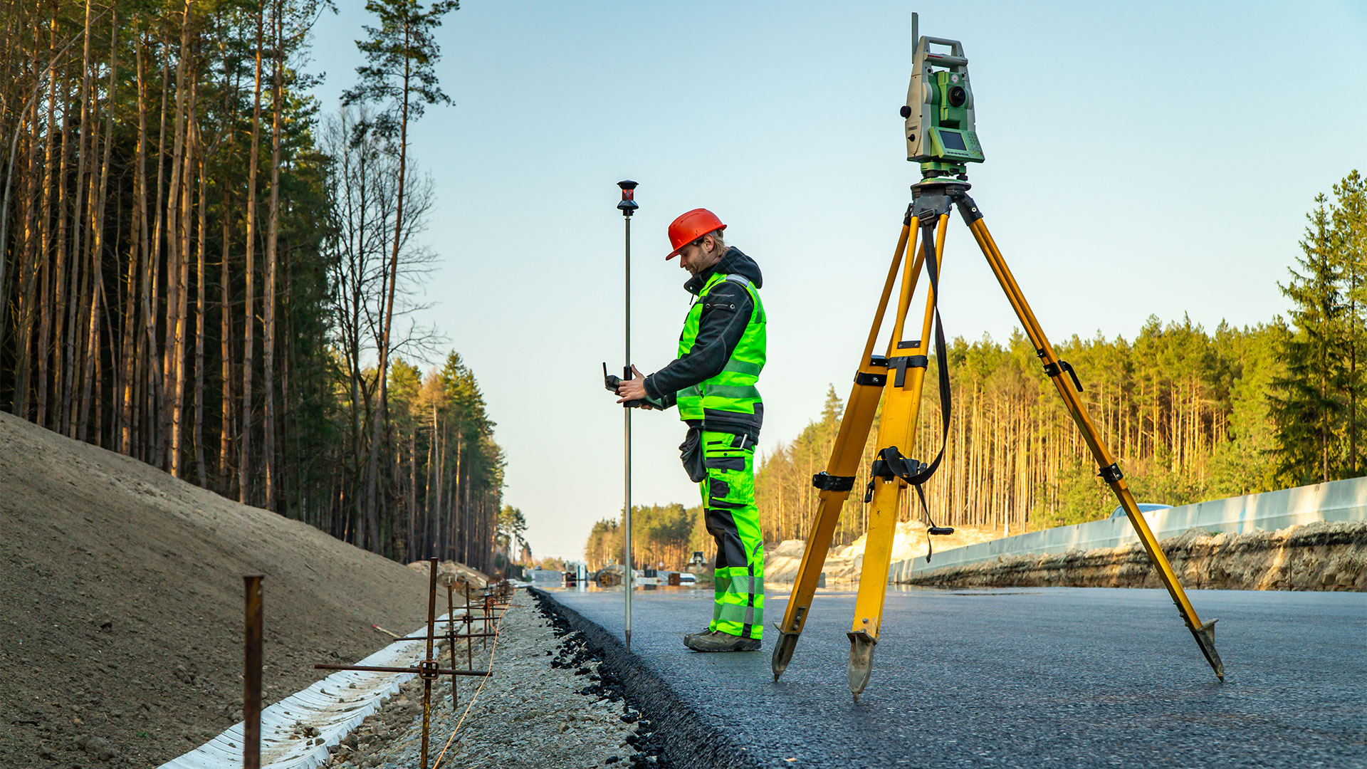
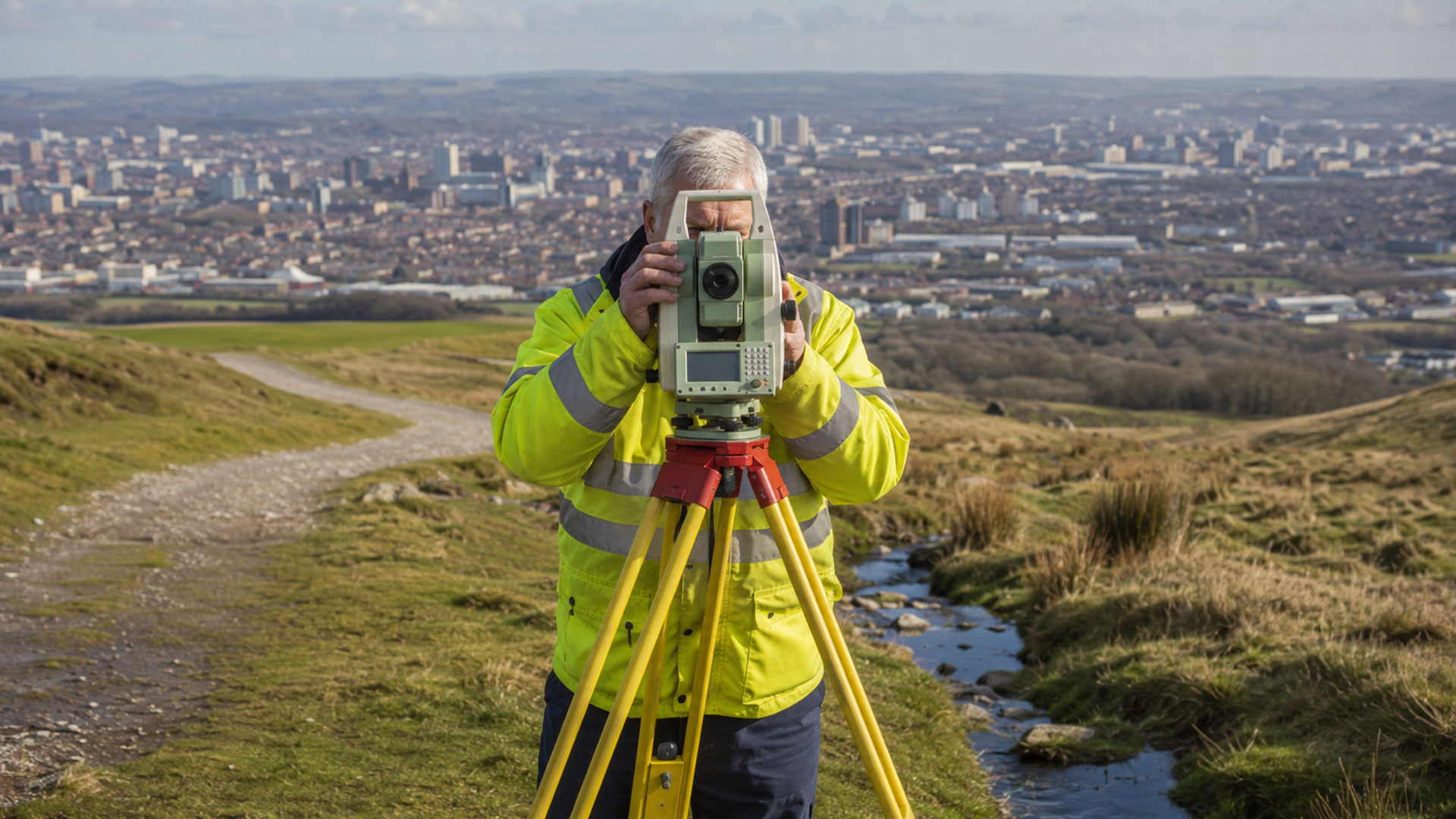
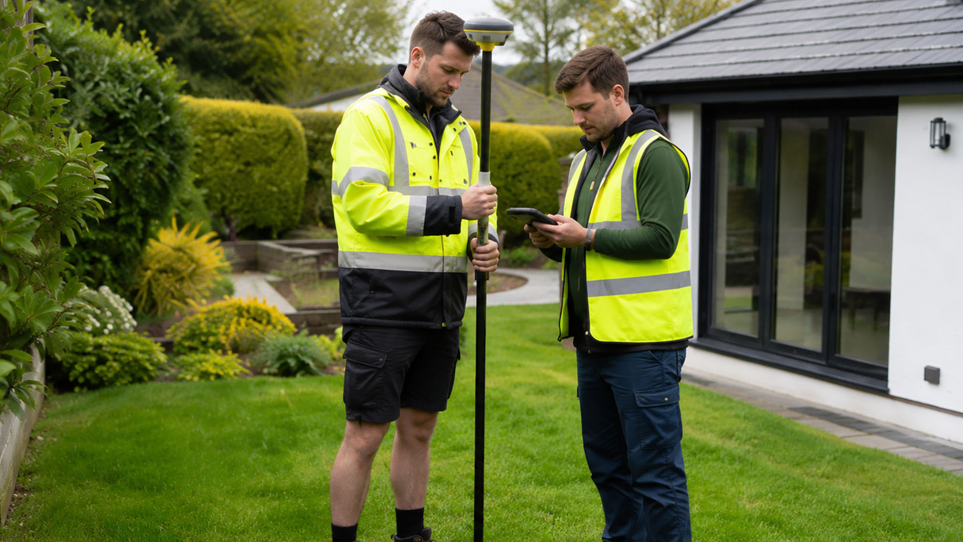
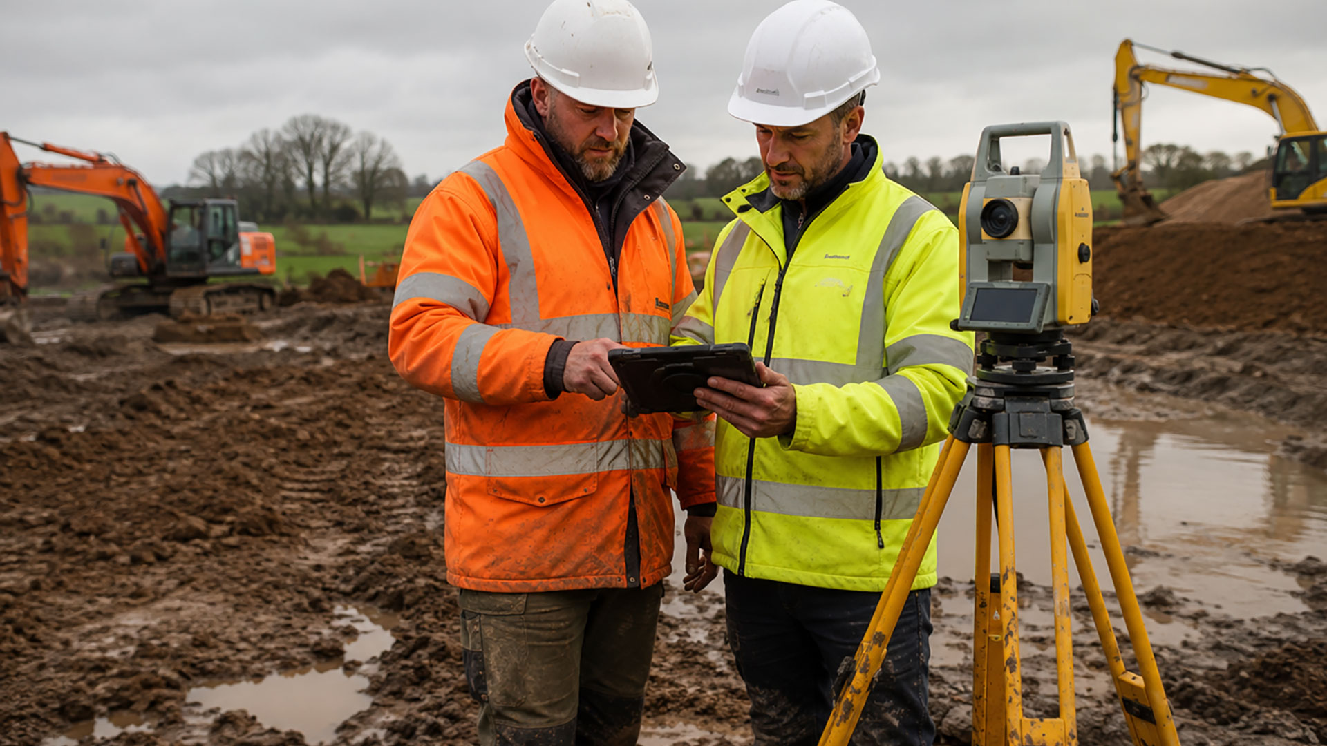
The strongest approach is often a combination of methods. Drone capture provides breadth and context, while ground-based measurement supplies the control and close detail required for the finished survey.
Not Every Site Is Suitable
The decision to use a drone must take account of the site, surrounding properties, people, airspace, weather and the nature of the proposed flight. Current UK drone rules are risk-based, and commercial operations must be planned and carried out legally and safely.
For that reason, suitability is assessed before the survey is confirmed. On some sites, a different aircraft, a combination of methods or a conventional ground survey may provide a better and more practical result.
Start with the Required Output
The most useful question is not simply whether a drone can be used. It is what the final information needs to achieve. A client seeking roof imagery has different requirements from a developer who needs topographical data or a contractor recording site progress.
Datum Surveys agrees the intended output first and then selects the appropriate method. Available deliverables may include aerial imagery, orthographic views, supporting survey plans, PDF drawings and DWG files.
Drone surveys are available across Manchester, Liverpool, Warrington, Greater Manchester, Merseyside, Cheshire, Lancashire and the wider North West, subject to site and operational requirements.