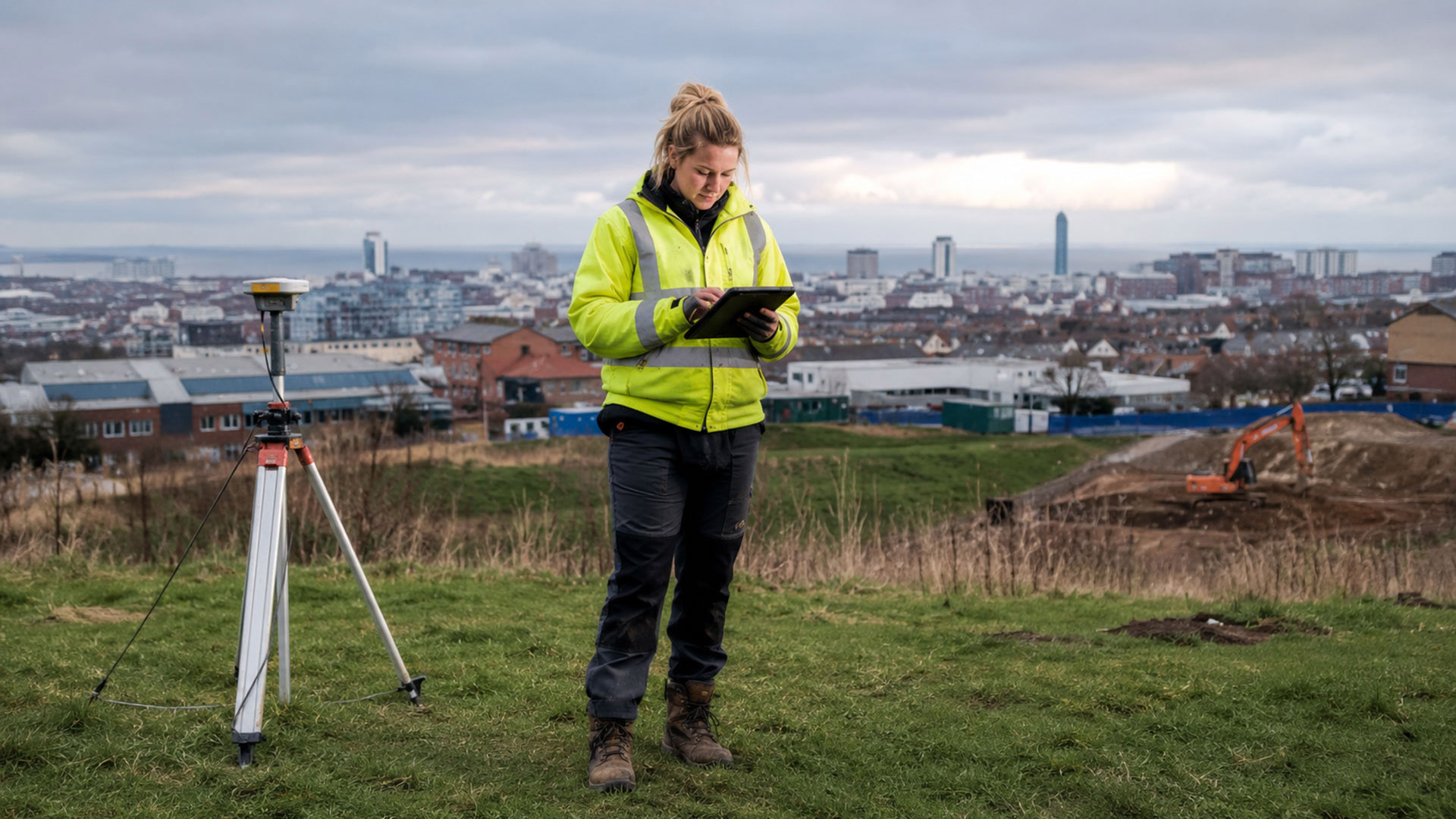
Good Design Begins with the Ground Beneath It
It is tempting to begin a development project with the proposed building. Floor plans, elevations and visual ideas are naturally more exciting than spot heights, contours and drainage covers. Yet the quality of the finished design depends heavily on the accuracy of the information beneath it.
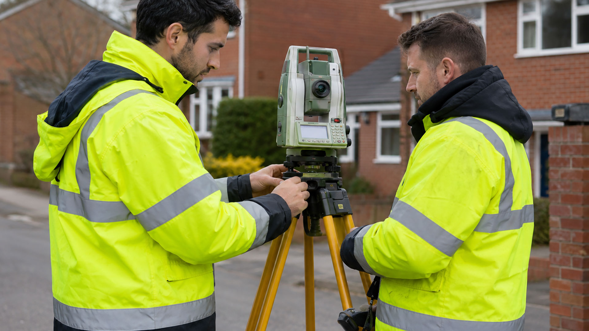
A topographical survey records the site as it actually exists. By establishing the position and level of the relevant features before design work begins, it gives architects, engineers and developers a reliable base from which to work.
The Site Is More Than Its Boundary
A basic plan may show the broad shape of a plot, but it does not necessarily explain how the land rises and falls, where access is constrained or how surrounding features relate to the proposed work.
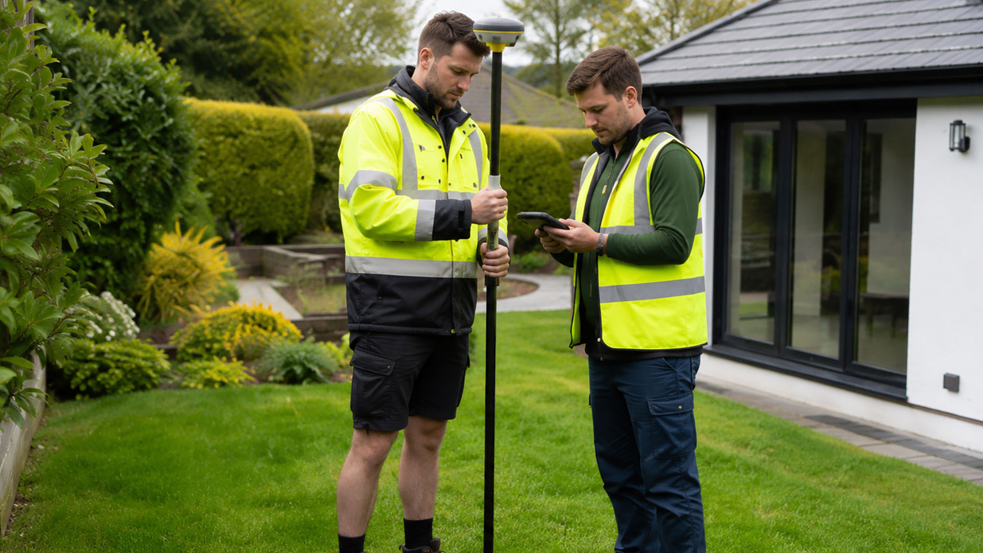
A topographical survey can record buildings, roads, paths, kerbs, walls, fences, trees, drainage features, utility covers and changes in surface. Ground levels, spot heights and contours reveal the shape of the land, allowing the design team to understand the site in three dimensions rather than as a flat outline.
Levels Influence More Than Appearance
Changes in level affect the way a project connects with its surroundings. They can influence finished floor levels, entrances, ramps, retaining structures, garden design and the amount of material that may need to be excavated or brought onto the site.
Levels also matter when drainage is considered. Water follows the shape of the ground, so understanding existing falls can help engineers and designers develop more informed proposals. Discovering an unexpected slope after the design has progressed can lead to redesign, additional work and avoidable cost.
Urban and Rural Sites Present Different Questions
In Manchester or Liverpool, a topographical survey may need to record a tightly constrained relationship between the site, neighbouring buildings, pavements, roads and access points. Even a relatively small plot can contain a considerable amount of information.
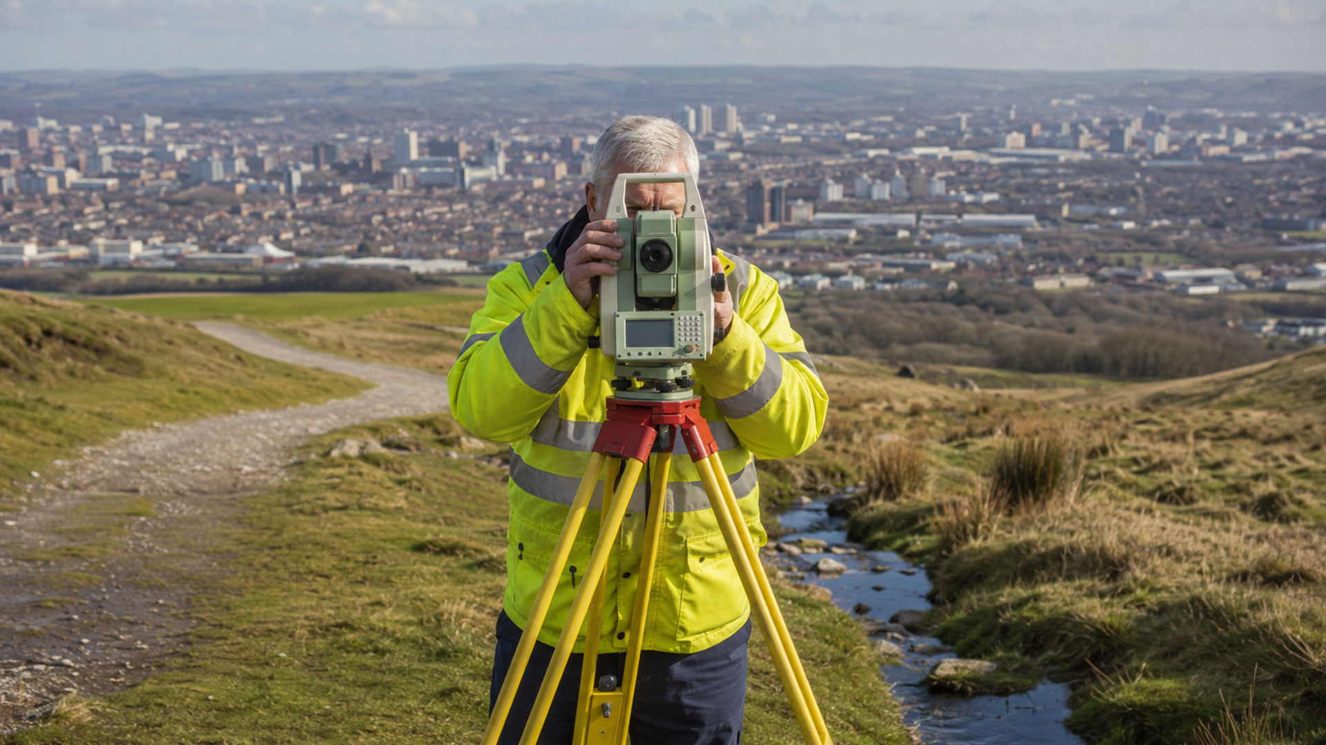
Around Warrington, Cheshire and Lancashire, a larger site may introduce different considerations. Trees, ditches, changes in terrain, wider access routes and existing drainage can all shape what is possible. The survey scope should respond to the site rather than applying the same level of detail to every instruction.
Accurate Information Helps the Whole Team
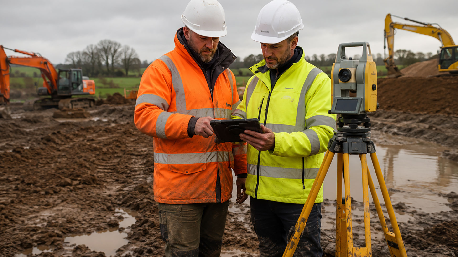
The topographical survey is not only for the architect. Civil engineers may use the levels when considering drainage or access. Landscape designers can work with the existing terrain and vegetation. Planning consultants can understand the relationship between the proposal and its surroundings. Contractors can also benefit from drawings that reflect the current site rather than assumptions made at an earlier stage.
Providing the same reliable base information to the wider team helps reduce conflicting interpretations and creates a clearer starting point for coordination.
Survey First, Design with Confidence
Commissioning a topographical survey early does not restrict creativity. It gives the design team the information needed to respond intelligently to the site. Opportunities become clearer, constraints can be addressed sooner and proposals can be developed on a more dependable foundation.
Datum Land Surveys provides topographical and measured land surveys across Manchester, Liverpool, St Helens, Warrington and the wider North West. Completed drawings are supplied in PDF and DWG formats for straightforward review and professional CAD use.