Why the Red Line Is Only the Beginning
A property boundary can look perfectly obvious until someone needs to know exactly where it runs. Perhaps a fence is being replaced, an extension is being planned or a neighbour has questioned the position of a wall. At that point, many owners turn to the Land Registry title plan expecting a precise answer.
The title plan is important, but it usually does not provide that level of certainty. Understanding what it can show, and what it cannot, is the first step towards a clearer boundary investigation.
What the Land Registry Title Plan Shows
Most registered properties in England and Wales have a title plan showing the general extent of the land within the title. The familiar red edging identifies the property in relation to the Ordnance Survey map base, but it does not usually show the exact legal boundary line.
This distinction matters. A thick line on a plan cannot simply be scaled up and transferred to the ground as a precise position. The legal boundary is an invisible line with no width, while the mapping and title plan are representations produced at a particular scale.
The title plan is therefore part of the evidence, rather than the entire answer.
Why the Physical Features Matter
Boundaries are often associated with features such as fences, walls, hedges, ditches, buildings or changes in surface. These features can help explain how neighbouring properties have been occupied, but they can also change.
A timber fence may have been moved when it was replaced. A wall may have been rebuilt on a slightly different alignment. An extension or outbuilding may now obscure an older feature. In Manchester and Liverpool, where terraced houses, passageways, yards and closely arranged extensions are common, even a small difference can affect access or proposed building work. On larger properties around Warrington, Cheshire and Lancashire, evidence may be spread across a much wider area.
A site visit allows the current arrangement to be measured rather than assumed.
How a Boundary Survey Helps
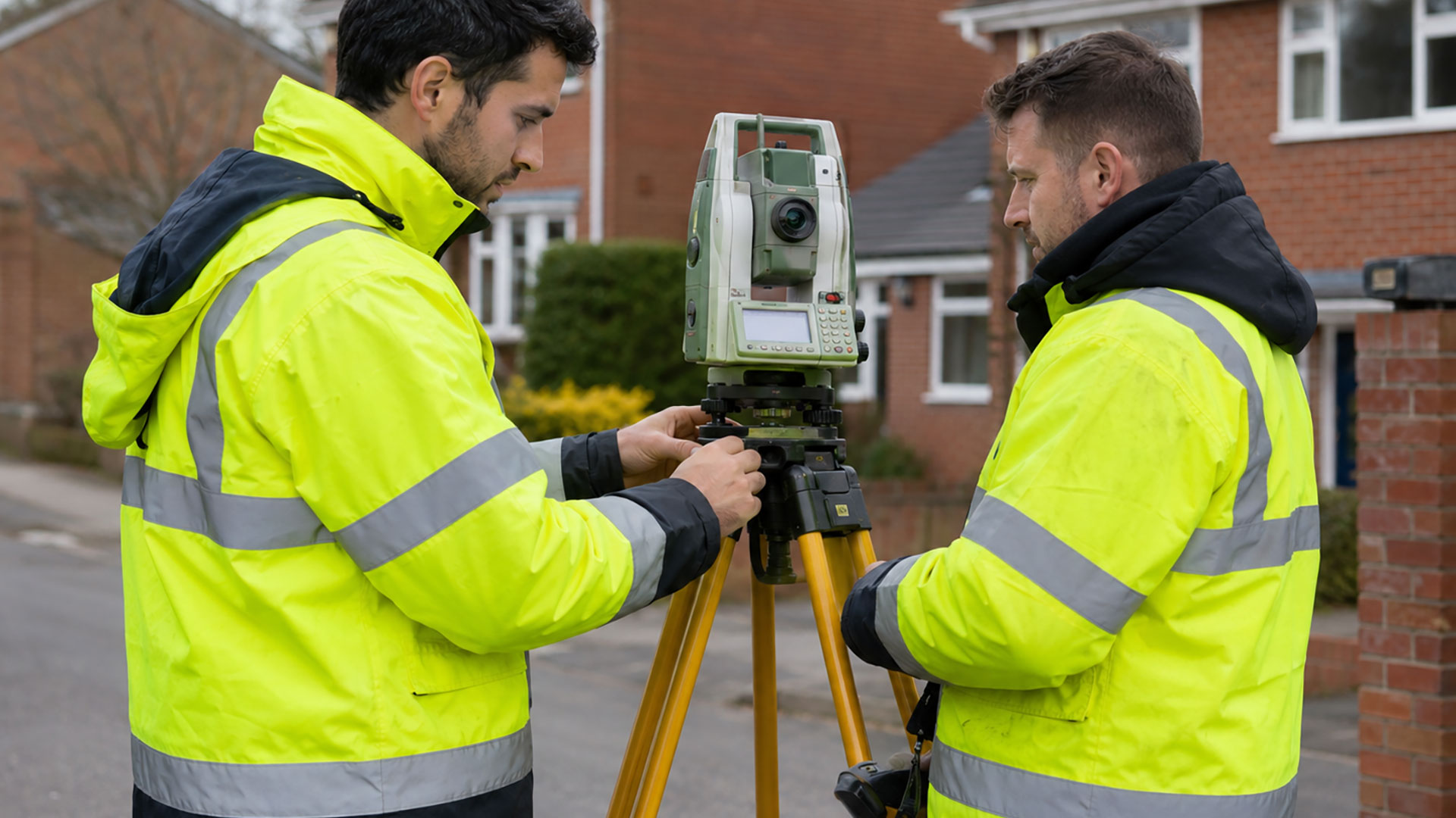
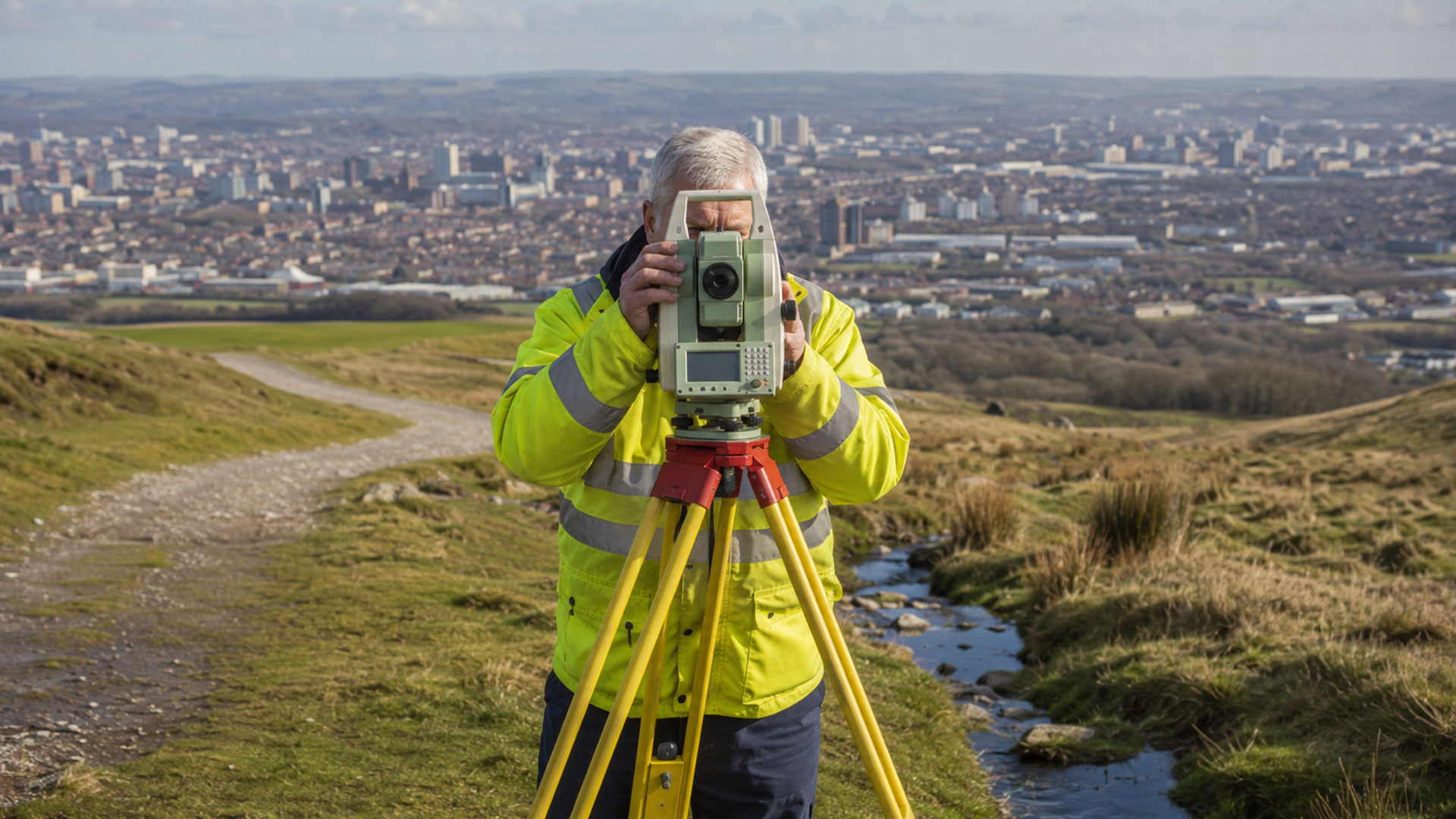
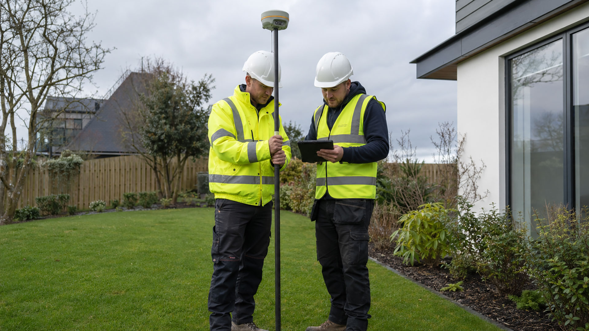
A professional boundary survey records the relevant physical features and their relationship to the property. Using GPS surveying equipment and other measurement methods, the surveyor can position buildings, roads, fences, walls, hedges and visible evidence of previous occupation lines.
That measured information can then be considered alongside the title plan, transfer plans, digital Ordnance Survey mapping, photographs and any other documents available to the client. The aim is not to force the evidence to match a preferred answer, but to present it clearly enough for the situation to be understood.
The completed drawing can help owners discuss a practical issue, provide accurate information to an architect or allow a solicitor to consider the matter with a clearer view of the site.
A Survey Does Not Replace Legal Advice
It is important to separate measured evidence from legal determination. A surveyor can record the site and prepare a plan, but a disputed legal boundary may ultimately require agreement between the owners, a formal Land Registry process or a decision by the court or tribunal.
Where a disagreement is developing, early legal advice can prevent assumptions from becoming entrenched. The survey drawing can then form part of the evidence considered by the legal advisers rather than being treated as a ruling in its own right.
When to Commission a Survey
The best time to investigate a boundary is before work begins or positions become fixed. If you are planning a fence replacement, extension, driveway, garage or land sale, accurate information at the outset can make later conversations far easier.
Datum Surveys provides boundary and boundary determination surveys across Manchester, Liverpool, Warrington and the wider North West, with PDF and DWG drawings supplied for clients and their advisers.