Boundary determination surveys in Liverpool: looking beyond the fence line

Datum Land Surveys

Boundary determination surveys in Liverpool: looking beyond the fence line

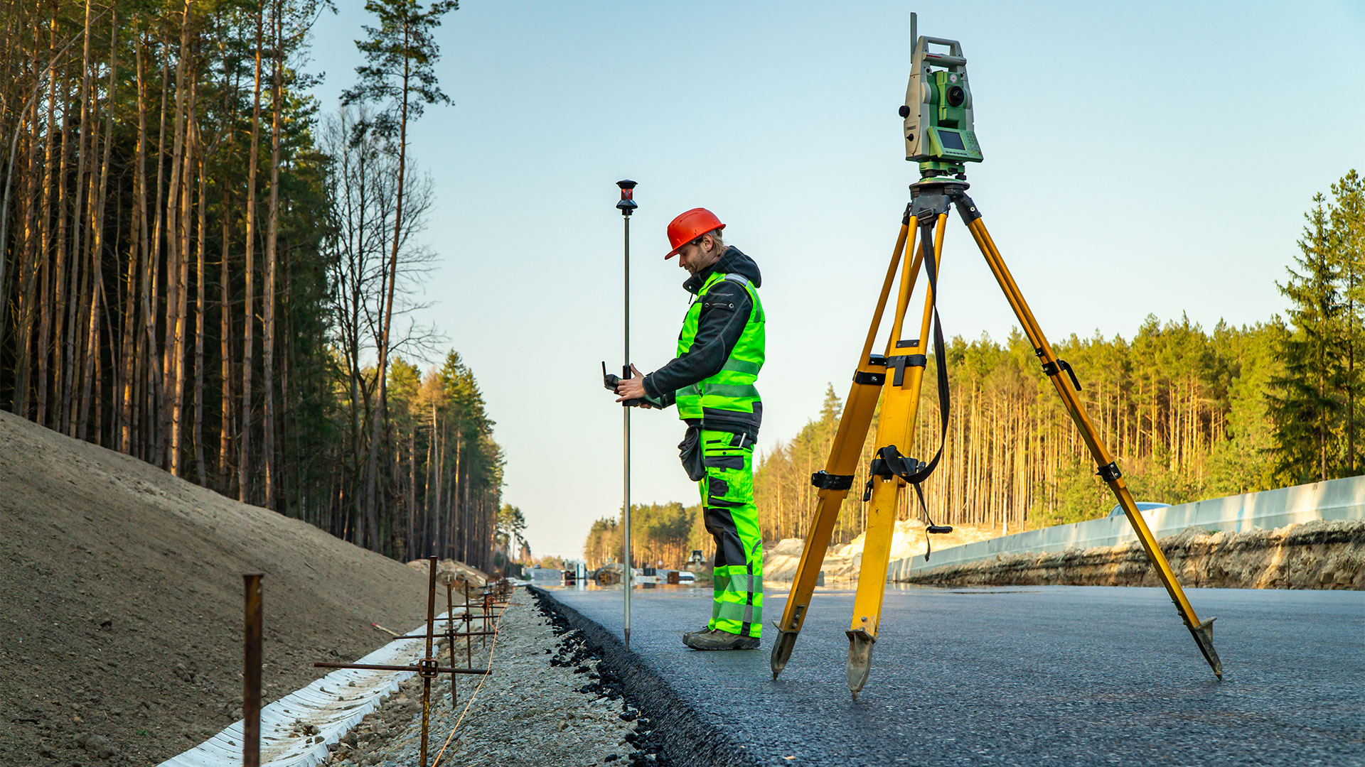
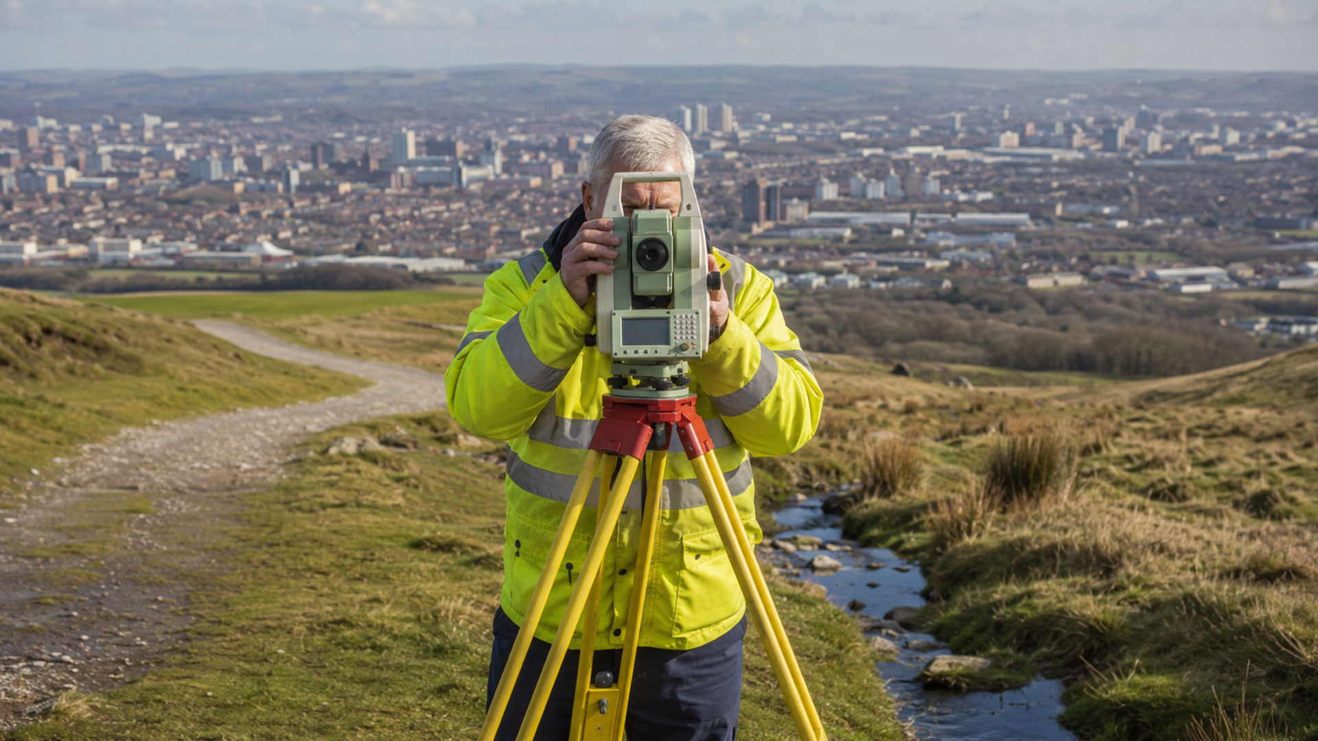
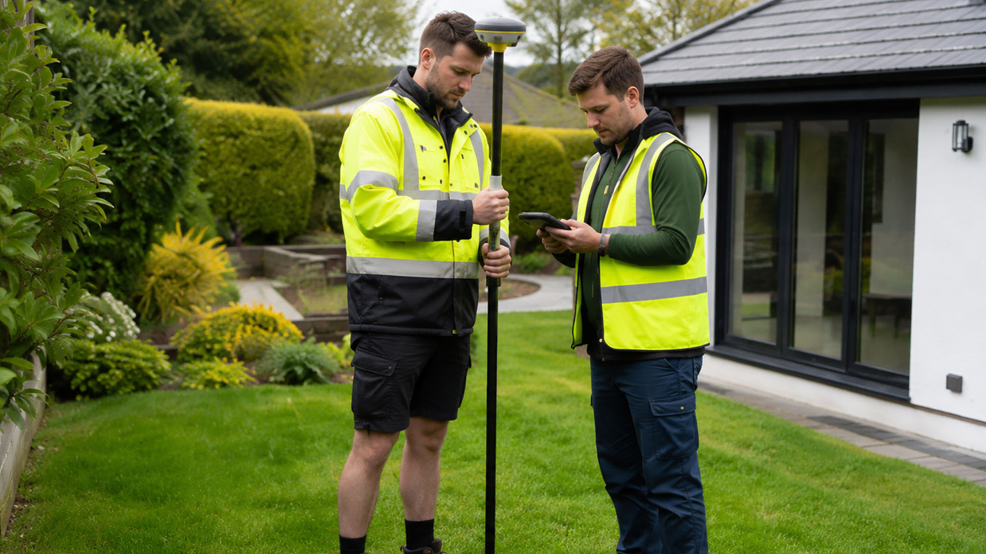
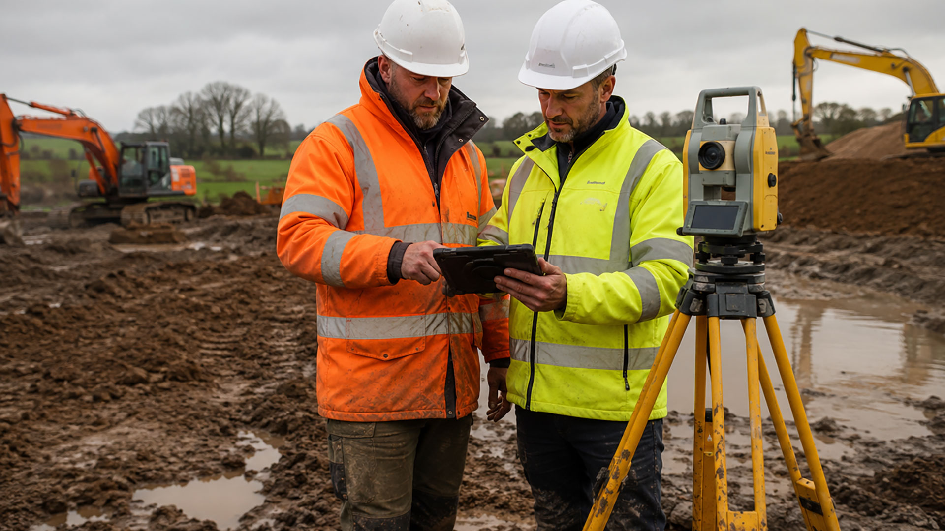
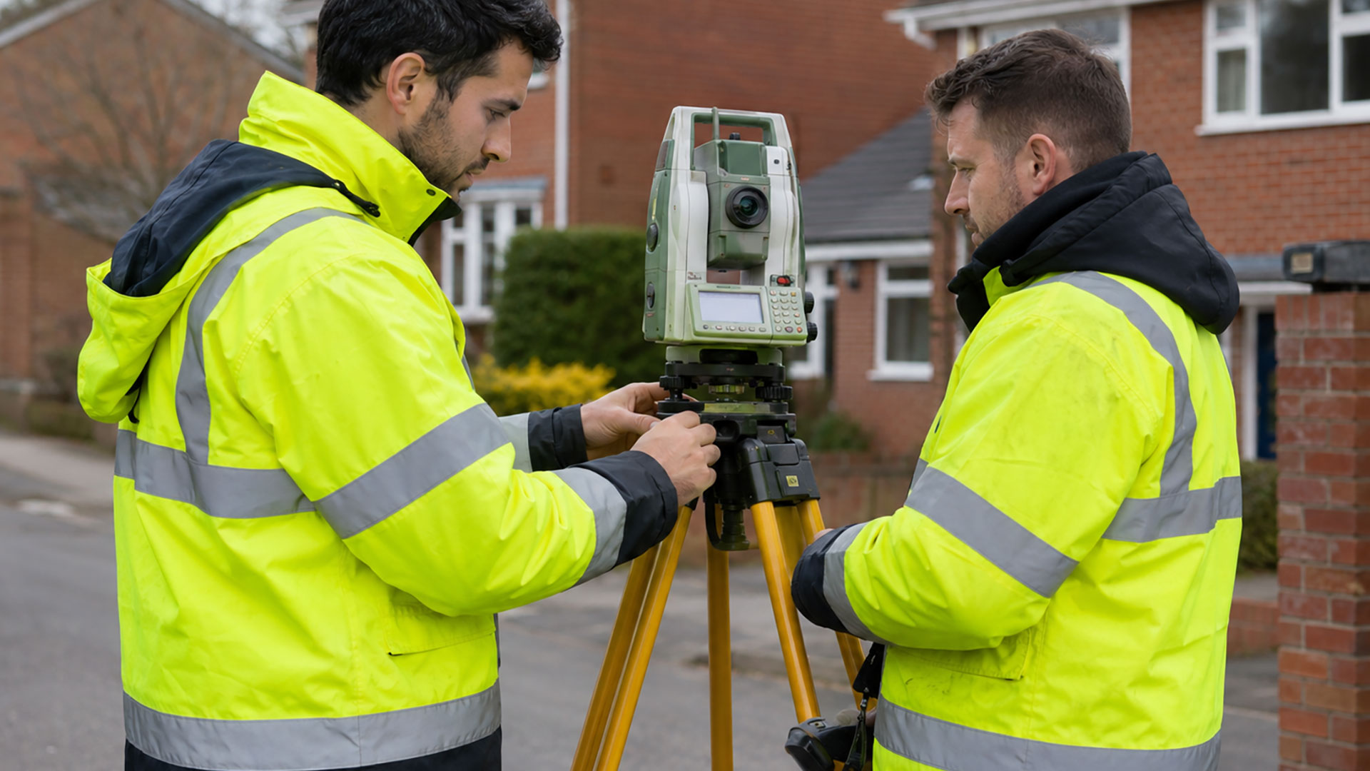
Offering reliable boundary determination surveys in Liverpool, Datum Land Surveys use the latest in GPS surveying equipment to ensure prompt, accurate results.

When a boundary becomes the subject of uncertainty, it’s tempting to rely on the nearest fence, wall or title plan for an answer. However, these features don’t always tell the whole story. A fence may have been replaced, an older wall could be hidden by planting, or a Land Registry title plan may indicate only the general extent of a property. A professional boundary determination survey can provide a clearer, measured record of the evidence.

Our boundary determination surveys can include buildings, roads, walls, fences, hedges, access routes and other visible details that may help when considering the position of a boundary. If there are signs of an earlier fence line, wall or change in occupation, these can also be captured where they remain visible.

The purpose of a boundary determination survey is to document the site as it stands today, while preserving useful information about features that may relate to its history. The resulting measurements can be reviewed alongside digital Ordnance Survey mapping and relevant HM Land Registry documents, helping to build a more complete picture than any single source could provide.

Boundary determination surveys are particularly useful in established parts of Liverpool, where extensions, alleyways, yard walls and generations of replacement fencing may have influenced the appearance of property boundaries. Even apparently straightforward sites can contain details that deserve careful consideration.

You may need a boundary determination survey before replacing a fence, planning an extension, purchasing or selling land, changing an access arrangement or discussing a disagreement with a neighbour. The measured information can also be valuable to solicitors and other property professionals who are advising on the next steps.

Boundary determination surveys provide technical evidence, not a legal ruling. But most HM Land Registry title plans show general boundaries, so the red edging shouldn’t be treated as an exact line that can simply be transferred onto the ground. Where the legal position needs interpretation, our completed drawing should be supplied to a suitably qualified adviser.

Datum Land Surveys supplies clear 2D PDF drawings, with DWG files available for professional CAD use. We agree the survey content beforehand to ensure it reflects the property and its intended purpose.

For clarity, accurate data and peace of mind, Datum Land Surveys provides reliable boundary determination surveys in Liverpool.

Call us on 0800 7720495 or 07973 683468, or drop us a line at info@datumlandsurveys.uk
Leave a comment

Professional Surveying Services

From boundary surveys to drone surveys, Datum Surveys provides accurate, reliable surveying services across Manchester, Liverpool, St Helens, Warrington, St Helens and the wider North West, helping homeowners, architects, developers and businesses make informed decisions.

Datum Land Surveys

Boundary Surveys

A measured record of fences, walls, buildings, roads and other physical features, helping to create a clearer understanding of an existing property boundary.

Land Surveyor on Road

Boundary Determination Surveys

Detailed measured evidence and survey drawings that can support boundary investigations, professional advice and applications relating to a determined boundary.

Datum Land Surveys

Measured Land Surveys

Accurate plans of land, boundaries, buildings, access points and external features for property, planning and design purposes.

Datum Land Surveys

Measured Building Surveys

Accurate plans of land, boundaries, buildings, access points and external features for property, planning and design purposes.

Datum Land Surveys

Topographical Surveys

A detailed record of site features, levels and contours to support architects, developers, engineers and planning professionals.

Drone Surveys

Drone Surveys

Efficient aerial data capture for large, complex and difficult-to-access sites, delivering accurate information quickly across the North West.

Let’s work together!

Share your ideas and let’s start planning your next project. Our professional team is ready to help bring your vision to life.

Why Choose Datum Surveys?

At Datum Surveys, we combine experience, precision and modern surveying technology to deliver accurate, reliable results. Whether you're a homeowner, architect, developer or commercial client, we're committed to providing professional surveys you can trust.

Accurate Results

Using modern surveying equipment and proven techniques, we capture precise site data you can rely on for planning, design and construction.

Professional Service

From your initial enquiry to the delivery of your drawings, we provide clear communication, dependable advice and a friendly, professional approach.

Fast Turnaround

We understand the importance of keeping projects moving, delivering accurate surveys and professional drawings promptly without compromising quality.

Datum Land Surveys
Privacy Overview

This website uses cookies so that we can provide you with the best user experience possible. Cookie information is stored in your browser and performs functions such as recognising you when you return to our website and helping our team to understand which sections of the website you find most interesting and useful.