A clearer understanding of your boundary
Datum Surveys provides a comprehensive range of surveying services for homeowners, architects, developers, businesses and construction professionals throughout Manchester, Liverpool, Warrington, St Helens and the wider North West of England.
Recording the Site as It Stands Today
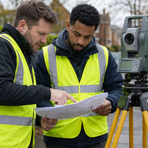
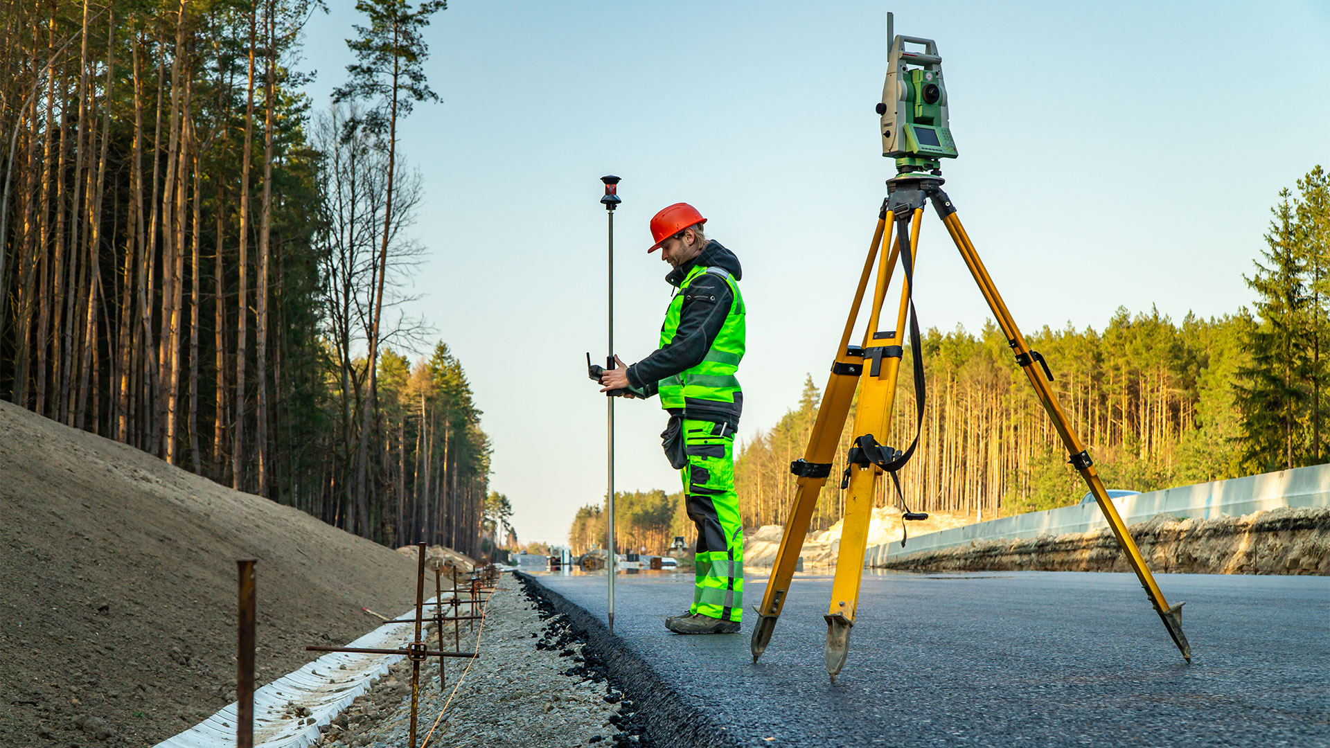
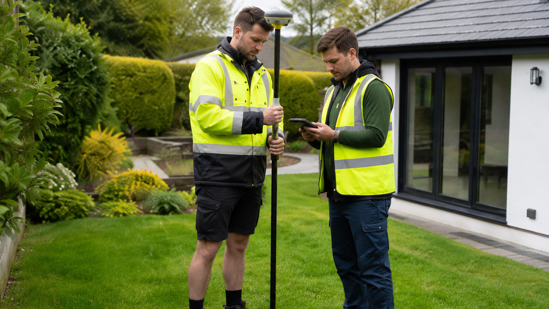
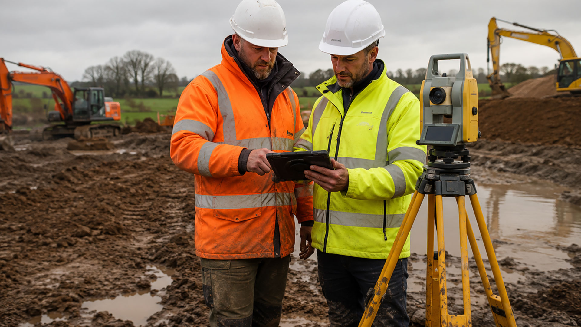
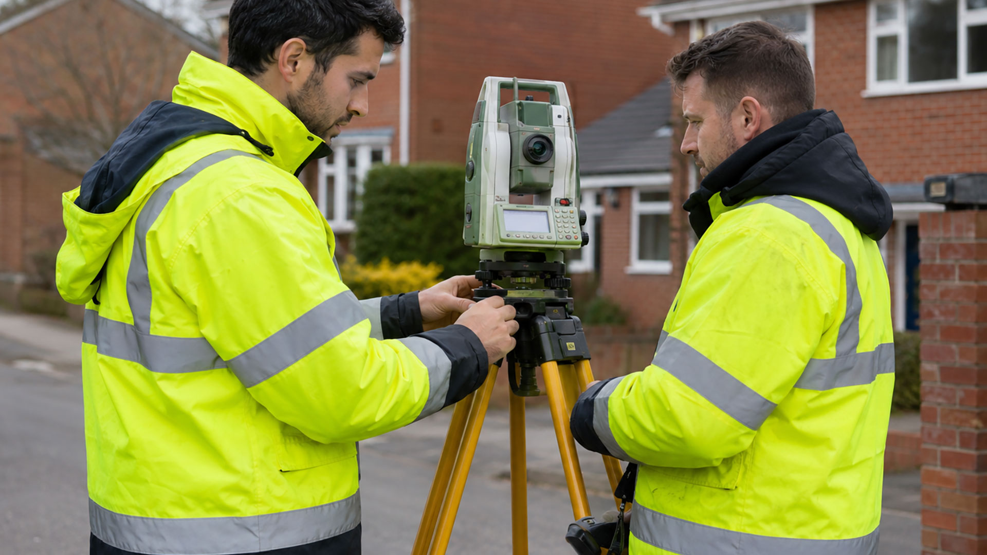
Datum Surveys uses professional GPS surveying equipment to record relevant buildings, roads, walls, fences, hedges, access routes and other visible features. Where evidence of an earlier fence line or change in occupation remains, this can also be included within the measured record.
The survey information can be considered alongside digital Ordnance Survey mapping and the relevant Land Registry documents. Bringing these sources together creates a clearer and more useful picture than relying on one plan or one physical feature alone.
When a Boundary Survey Can Help
A survey may be commissioned before replacing a fence, planning an extension, buying or selling land, altering access or discussing a boundary concern with a neighbour. It can also provide solicitors and other property professionals with accurate measured information when they are advising a client.
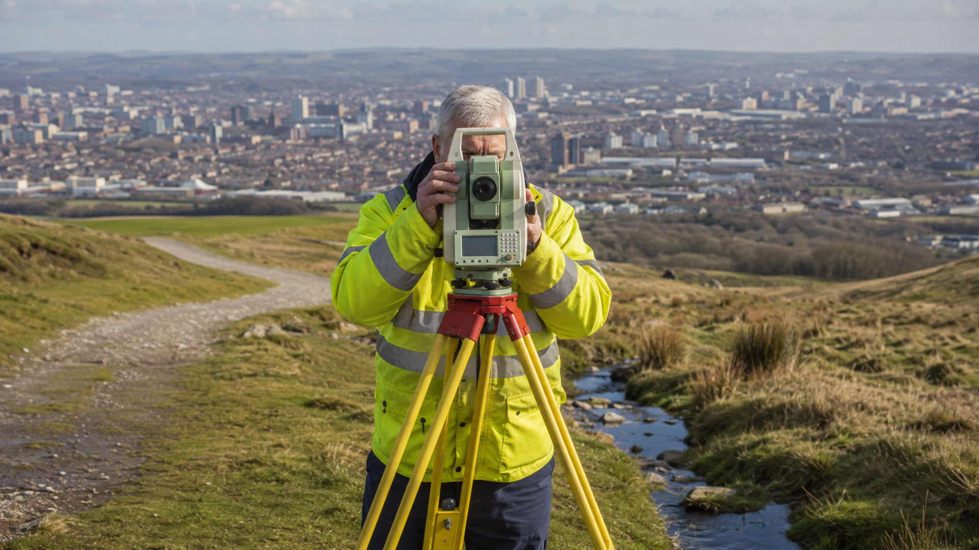
Across older urban areas of Manchester and Liverpool, boundaries may have been influenced by extensions, alleyways, yard walls and generations of replacement fencing. In more suburban or rural parts of Warrington, Cheshire and Lancashire, the relevant features may be spread across a wider site. In either setting, the purpose is to establish a reliable measured record of the evidence that can be seen and documented.
Understanding the Title Plan
Most HM Land Registry title plans show general boundaries rather than the exact legal line. The red edging should therefore be treated as part of the available evidence, not as a precise measurement that can simply be transferred to the ground.
Datum Surveys records and presents the measured information. Where the position or ownership of a legal boundary requires formal interpretation, the completed drawing can be provided to a solicitor or other suitably qualified adviser.
Clear Survey Drawings
The completed boundary survey is supplied as a clear 2D PDF drawing, with a DWG file available for professional CAD use. The exact content is agreed in advance so the final drawing reflects the property and the reason for the survey.