Surveying Services

Datum Land Surveys

Accurate Surveying Services Across the North West

Datum Surveys provides a comprehensive range of surveying services for homeowners, architects, developers, businesses and construction professionals throughout Manchester, Liverpool, Warrington, St Helens and the wider North West of England.

Using modern surveying technology and years of industry experience, we deliver accurate data and professional drawings to support projects of every size.

Whether you need a boundary survey, measured building survey, topographical survey, measured land survey or drone survey, our experienced team is committed to providing reliable information you can trust. Every survey is completed with precision, attention to detail and a focus on delivering clear, accurate results.

Explore our range of surveying services below to find the right solution for your project.

I think this is a better fit for a service index page. It briefly explains what Datum Surveys does, who they work with and what visitors can expect, before directing them to the individual service pages. It's also concise enough to sit comfortably above a grid of service cards or links.
Datum Land Surveys

Professional Surveying Services

From boundary surveys to drone surveys, Datum Surveys provides accurate, reliable surveying services across Manchester, Liverpool, St Helens, Warrington, St Helens and the wider North West, helping homeowners, architects, developers and businesses make informed decisions.

Datum Land Surveys

Boundary Surveys

A measured record of fences, walls, buildings, roads and other physical features, helping to create a clearer understanding of an existing property boundary.

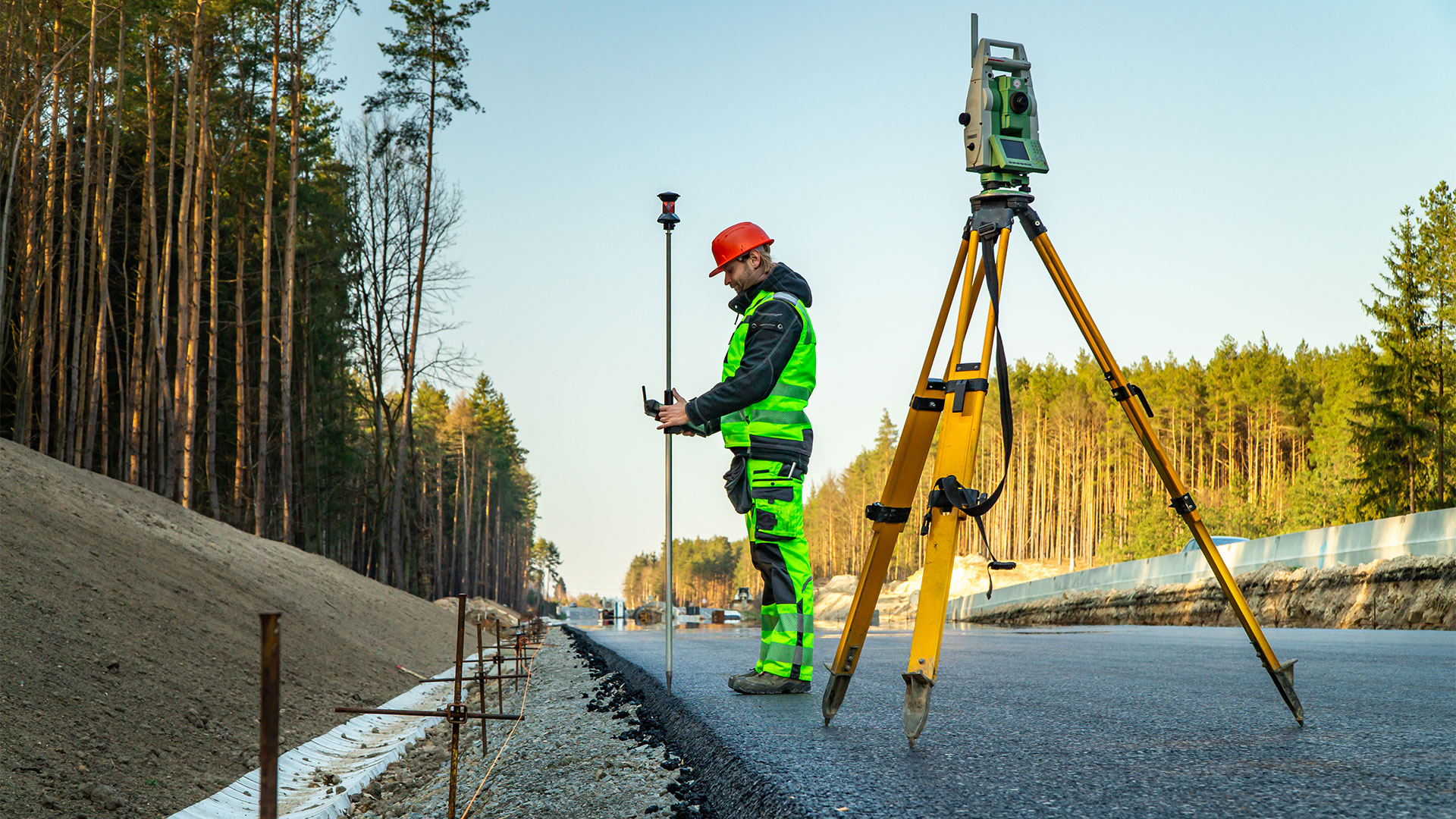
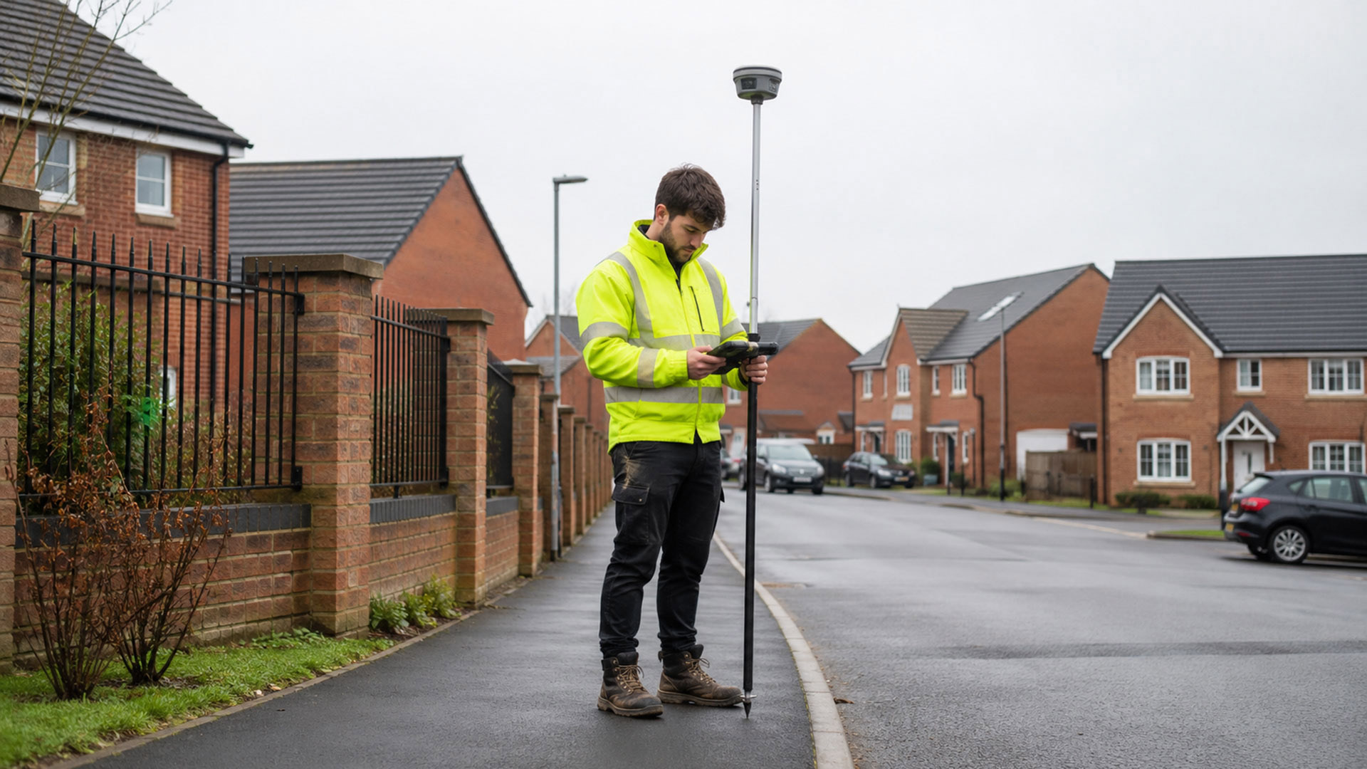
Land Surveyor on Road

Boundary Determination Surveys

Detailed measured evidence and survey drawings that can support boundary investigations, professional advice and applications relating to a determined boundary.

Datum Land Surveys

Measured Land Surveys

Accurate plans of land, boundaries, buildings, access points and external features for property, planning and design purposes.

Datum Land Surveys

Measured Building Surveys

Accurate plans of land, boundaries, buildings, access points and external features for property, planning and design purposes.

Datum Land Surveys

Topographical Surveys

A detailed record of site features, levels and contours to support architects, developers, engineers and planning professionals.

Drone Surveys

Drone Surveys

Efficient aerial data capture for large, complex and difficult-to-access sites, delivering accurate information quickly across the North West.

Let’s work together!

Share your ideas and let’s start planning your next project. Our professional team is ready to help bring your vision to life.

Why Choose Datum Surveys?

At Datum Surveys, we combine experience, precision and modern surveying technology to deliver accurate, reliable results. Whether you're a homeowner, architect, developer or commercial client, we're committed to providing professional surveys you can trust.

Accurate Results

Using modern surveying equipment and proven techniques, we capture precise site data you can rely on for planning, design and construction.

Professional Service

From your initial enquiry to the delivery of your drawings, we provide clear communication, dependable advice and a friendly, professional approach.

Fast Turnaround

We understand the importance of keeping projects moving, delivering accurate surveys and professional drawings promptly without compromising quality.